Elevation: 6,301 ft
Prominence: 361
This peak is not in the book. Published November 2023
Peak 6301 is a sagebrush hill located on the west side of Custer Road in the northern section of the Pahsimeroi Range. Its east ridge is an easy scramble from FSR-110. USGS Ellis
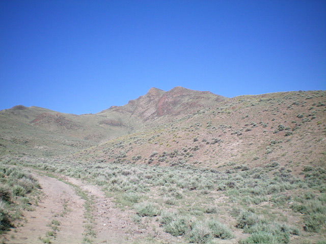
Peak 6301 (dead center) as viewed from the road departure point. Livingston Douglas Photo
Access
From US-93 at Ellis, drive southeast on the paved Pahsimeroi Highway for 2.2 miles to a signed junction with Burstedt Lane. Turn right/south onto Burstedt Lane and follow it south (then west) for 0.7 miles to a “T” junction with Custer Road. Turn left/south onto Custer Road and follow it for 2.0 miles to a signed junction with FSR-110. Turn right/west onto FSR-110 and drive 0.2 miles to a large pullout at an unsigned road junction. This parking area is at 5,005 feet and 44⁰38’11”N, 114⁰01’20”W. You may be able to drive another ½ mile up FSR-110 to another road junction where the road gets rockier and more rutted to cut down on the hiking required for this climb.
East Ridge, Class 2
The Climb
From the aforementioned parking area, hike about ¾ miles southwest up FSR-110 (bearing right at an unmapped, unsigned junction) to reach an old, weak 2-track road that heads right/west up onto the east ridge. Drop 20 vertical feet to cross a dry gully then quickly emerge onto the weaving east ridge. Head left/south briefly on the ridge crest then follow it right/northwest up to the main summit ridge. The terrain to this point has been easy, gapped sagebrush and short field grass.
Reach the main summit ridge at a bare saddle that shows signs of cattle activity. A short cattle trail leads to this saddle/flat ridge area. Scramble west-southwest up the ridge to the summit. The ridge terrain above the saddle is a mix of rocky ridge outcrops, boulders/talus, and sagebrush. It is a bit tedious, but it goes. The summit has a nice cairn and a beautiful view of the Upper Pahsimeroi Valley and the ranches in the valley just southeast of Ellis.
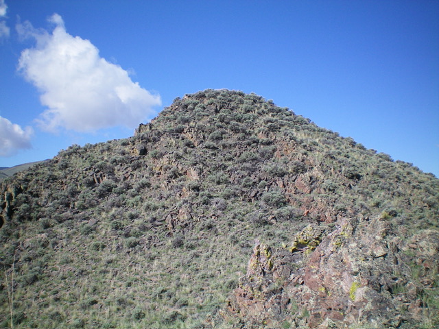
The rock-and-sagebrush summit hump of Peak 6301 as viewed from high on the east ridge. Livingston Douglas Photo
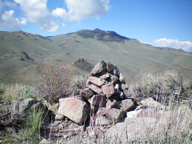
The summit cairn atop Peak 6301 with Grouse Mountain in the distance. Livingston Douglas Photo
Additional Resources
Regions: EASTERN IDAHO->Lost River Range->Pahsimeroi Range
Mountain Range: Lost River Range
Longitude: -114.0508 Latitude: 44.6313