Elevation: 6,321 ft
Prominence: 341
This peak is not in the book. Published January 2023
Peak 6321 is a remote peak located north of Fish Creek Reservoir. It is on private land so please obtain permission from the landowner before undertaking this climb. USGS Fish Creek Reservoir
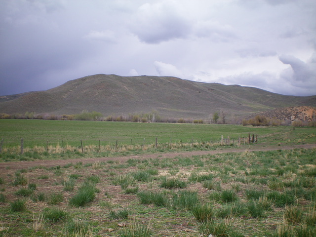
Peak 6321 as viewed from Fish Creek Road to its east. Livingston Douglas Photo
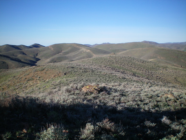
Peak 6321 as viewed from the undulating south ridge. The summit is just left of center. Livingston Douglas Photo
Access
Fish Creek Road is located along US-20 several miles east of Carey, Idaho and 25.1 miles east of the junction of US-20 and ID-75. Turn left/north onto [signed] Fish Creek Road and drive 5.4 miles north to a signed junction for the “boat ramp.” The “boat ramp” road is actually the West Fork Fish Creek Road. Turn left/north onto West Fork Fish Creek Road and drive 2.7 miles north to an unsigned 3-way road junction. Park at a large pullout on the left/west side of the road here outside a locked, gated cattle fence (5,365 feet).
South Ridge, Class 2
The Climb
From the road junction, cross to the right/east side of West Fork Fish Creek Road and hike northeast up an old 2-track road that follows a wide gully up to an unsigned junction at about 5,630 feet. Go left/north here to continue up a 2-track road. Go right at a second unsigned junction (not shown on maps) and hike north up the old 2-track to a 5,940-foot saddle between Point 6108 and Peak 6326.
Leave the road here and contour north then northeast up to just over 6,000 feet through reasonable sagebrush to reach a 6,020-foot ridge saddle due north of Peak 6326. From the saddle, follow the undulating ridgeline north then northeast then north to reach the cairned summit of Peak 6321. The ridge scramble is mostly short scrub with sections of reasonable, gapped sagebrush. There are two rocky ridge outcrops to skirt along the way including Point 6303. The ridge outcrops can be skirted on either side.
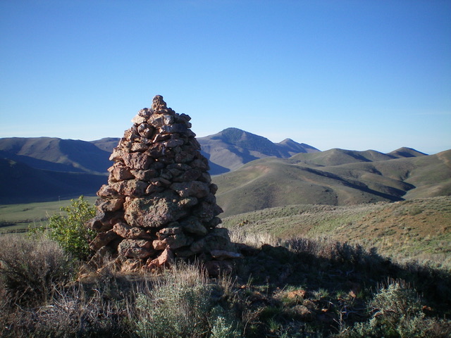
The massive summit cairn atop Peak 6321. Pine Mountain is in the distance just right of the cairn. Livingston Douglas Photo
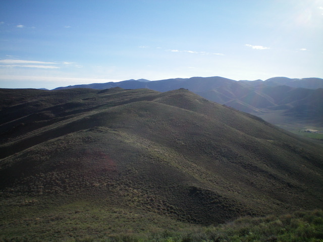
A look back at Peak 6321 as viewed from the south. The cairned summit hump is just left of center. Livingston Douglas Photo
Additional Resources
Regions: EASTERN IDAHO->Pioneer Mountains
Mountain Range: Pioneer Mountains
Longitude: -113.80539 Latitude: 43.48529