Elevation: 6,323 ft
Prominence: 383
This peak is not in the book. Published November 2018
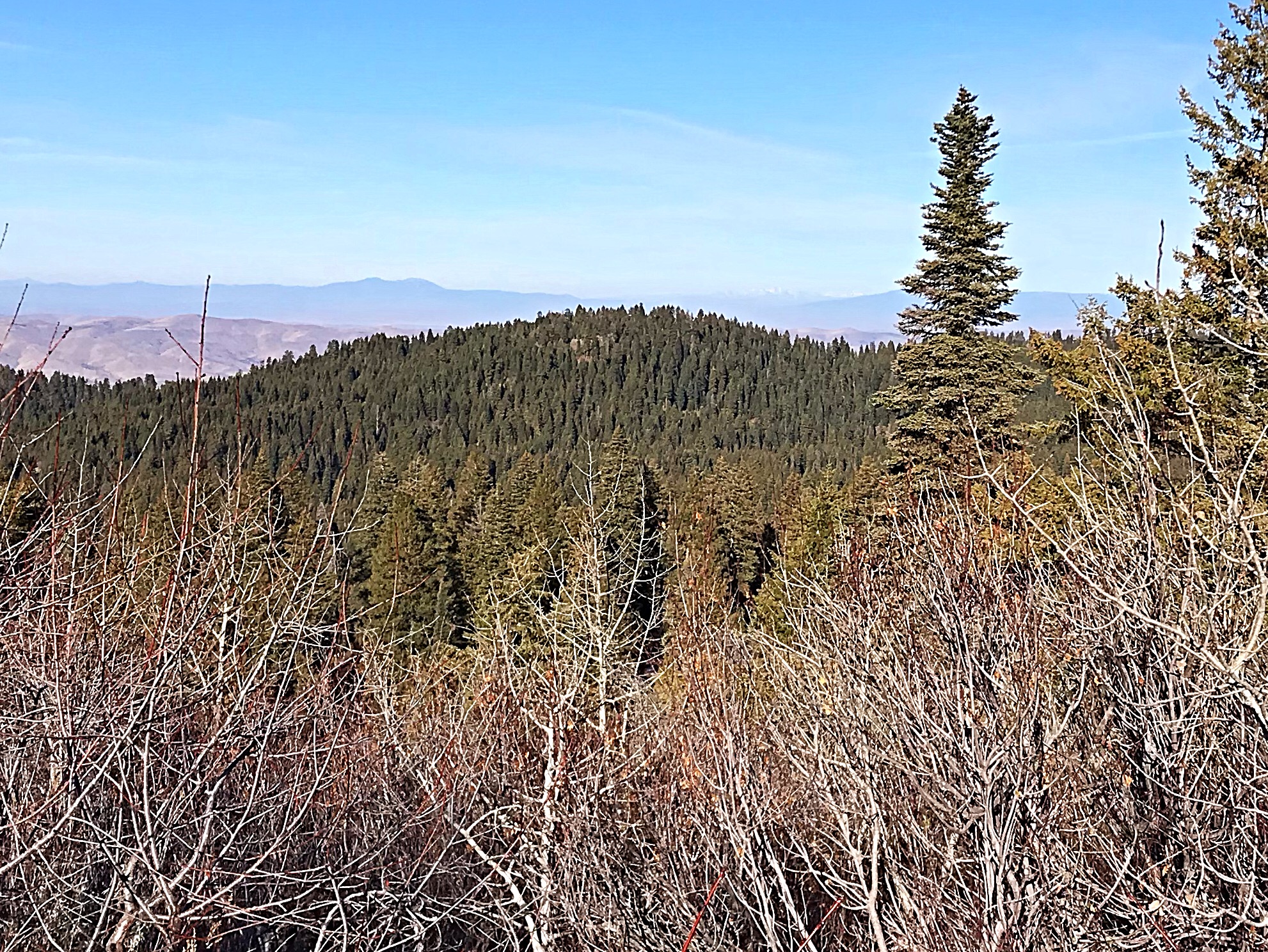
This forested peak is located northwest of Dry Buck Mountain. The summit of Peak 6323 is reached after a short climb from FSR-643, which traverses the peak’s South and West Slopes. The summit area is tree-covered and does not have a great view. Because the peak was logged in the past, both old and new growth Ponderosa pine cover its slopes. USGS High Valley
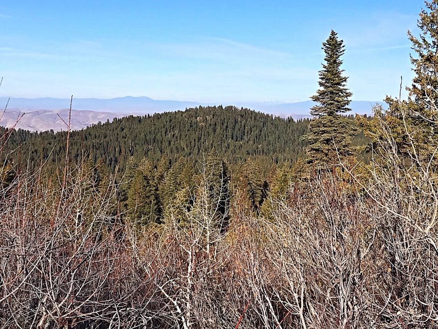
Peak 6323 as viewed from Dry Buck Mountain.
Access
Use the Dry Buck Mountain access to reach Dry Buck Summit. From this saddle, drive west then north on FSR-643 to the West Side of the mountain.
Northern Slopes Routes, Class 2
The only obstacle that you will encounter on your way to the summit is a bit of brush. The GPS track, shown below, marks my route. However, Peak 6323 can be climbed from any starting spot along FSR-643. The line we climbed had less brush than the slopes farther to the south.
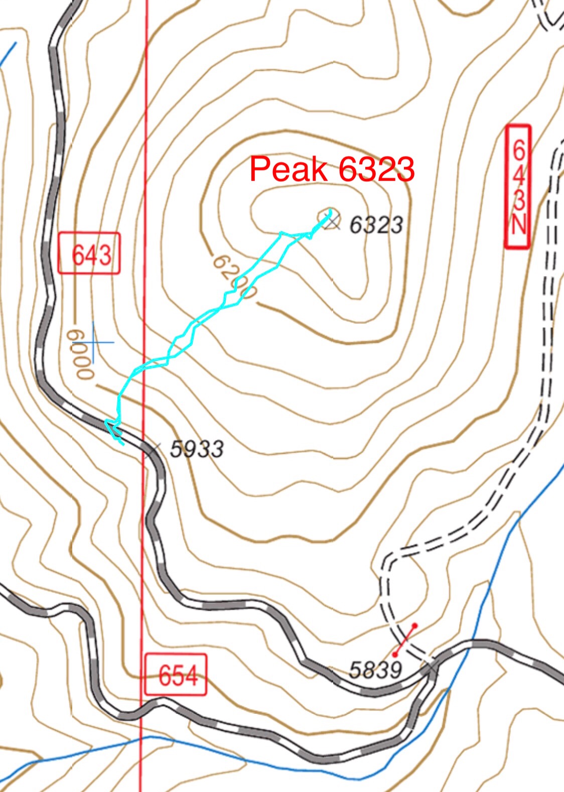
My GPS track. This climb covers 0.7 miles round trip with 339 feet of elevation gain.
Additional Resources
Regions: West Mountains->WESTERN IDAHO
Mountain Range: West Mountains
Year Climbed: 2018
Longitude: -11616939 Latitude: 44.16201