Elevation: 6,340 ft
Prominence: 440
This peak is not in the book. Published November 2018
This forested peak is located due west of Dry Buck Mountain. It is a short climb to the summit of Peak 6340 from FSR-620, which traverses the peak’s North and Northwestern Slopes. The summit area is open and has a great view of Squaw Butte. USGS High Valley
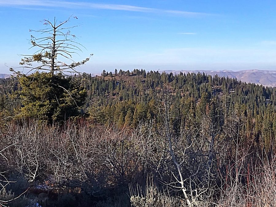
Peak 6340 as viewed from Dry Buck Mountain.
Access
Use the Dry Buck Mountain access to reach Dry Buck Summit. From this saddle, drive west on FSR-643 a short distance to its junction with FSR-620. Turn onto FSR-620 and follow it until you find a starting point that fits your mood.
Northern Slopes Routes, Class 2
The only obstacles that you will encounter on your way to the summit of Peak 6340 is an old fence and/or brush. The GPS track shown below marks my route. The easternmost line follows an old fence line up to the summit. The northwestern line is the recommended route as it crosses through more open slopes and avoids the barbed wire spread across the other route.
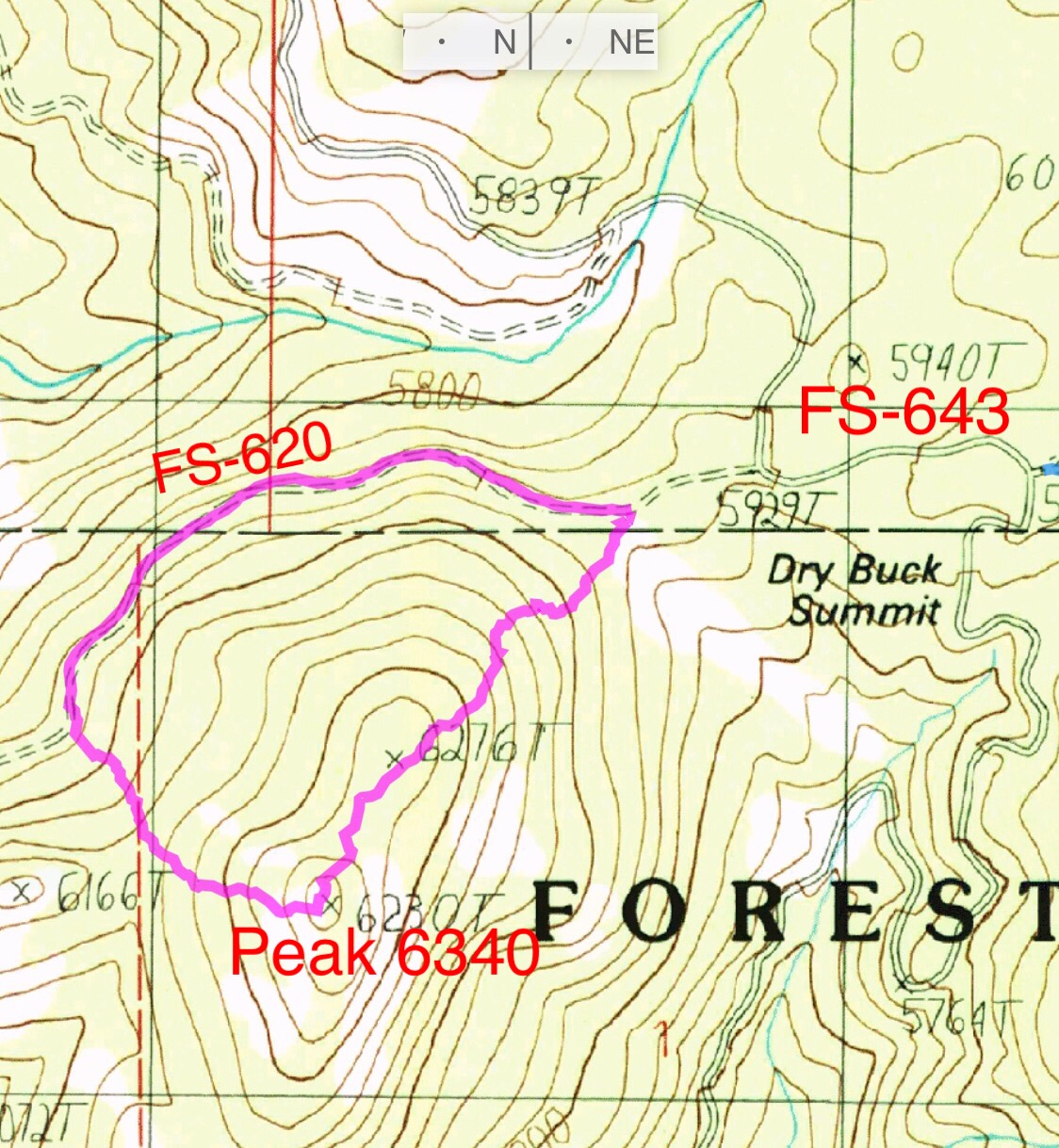
My GPS track for a loop route on Peak 6340. FSR-620 is a wide, well-graded road. A 2WD can easily drive to the point where the westernmost line starts up the mountain. The loop covers 1.5 miles and 435 feet of elevation gain.
Additional Resources
Regions: West Mountains->WESTERN IDAHO
Mountain Range: West Mountains
Year Climbed: 2018
Longitude: -116.17239 Latitude: 44.14649