Elevation: 6,380 ft
Prominence: 400
This peak is not in the book. Published November 2023
Peak 6380 is located just south of the confluence of the East Fork and Main Fork of the Salmon River. It is an easy scramble entirely on BLM land from East Fork Road. This area is a mix of private and public land, so be careful. USGS Ziegler Basin
Access
From ID-75, drive 1.3 miles south up [signed] East Fork Road to just past a driveway to a private ranch (on the left/east side of the road). Park along the road here, which is just past a dry gully that is on BLM land. This “pullout” is at 5,545 feet and 44⁰15’00”N, 114⁰18’55”W.
Northeast Shoulder, Class 2
The Climb
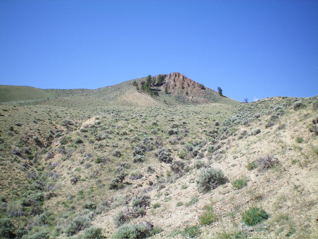
From the “pullout,” walk a short distance northwest on East Fork Road to the mouth of the dry gully. Bushwhack briefly southwest up the gully then follow a cattle trail on the right/west side of the gully. This trail follows the northeast shoulder of Peak 6380. Higher up, the trail heads up onto the crest of the shoulder. Scramble southwest up the easy, short scrub of the shoulder and notice the beautiful ridge to the left/south that heads directly up to the summit.
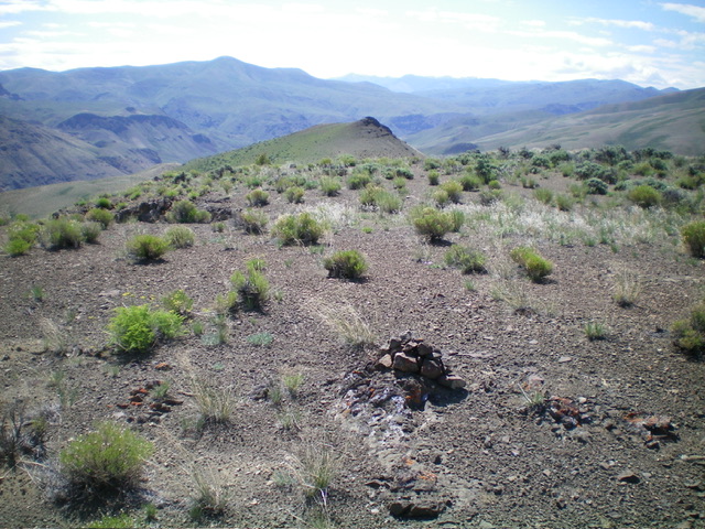
The small summit cairn atop Peak 6380, looking southeast at Point 6348. Livingston Douglas Photo
As the shoulder is about to end, angle diagonally left/south and cross a minor dry gully to reach the highest shoulder/ridge. Climb up steep-ish scrub (easy) onto the crest of the ridge then scramble southwest up the rock-and-sagebrush ridge to reach the summit ridge just south of the high point. The sagebrush on the upper shoulder is thicker than on the lower shoulder. Scramble north slightly uphill to reach the cairned high point of Peak 6380 in easy, short scrub. This is the shortest, easiest route to the top of Peak 6380.
Additional Resources
Regions: EASTERN IDAHO->White Cloud Mountains
Mountain Range: White Cloud Mountains
Longitude: -114.3247 Latitude: 44.2452