Elevation: 6,388 ft
Prominence: 408

This peak is not in the book. Published January 2023
Peak 6388 is a gentle hump located west of Elba and north of Cassia Creek. The best public access is via a jeep road that comes up the north ridge from Elba Road. USGS Elba
Peak 6388 as viewed from high on the north ridge. Livingston Douglas Photo
Access
From ID-77 in Elba, turn right/west onto Elba Road/1950S Road (which becomes FSR-548) and drive 3.9 miles to an unsigned road junction. Park in a roadside pullout (with a picnic table) 0.1 miles below this junction. The elevation at this roadside pullout is 5,635 feet. You may actually be able to drive this gated 2-track road to near the summit. A 4WD is recommended.
North Ridge, Class 1
The Climb
From the road junction, cross a cattle gate/fence and follow the 2-track road all the way to just below the summit. Leave the road and hike right/south up an old 2-track to reach the cairned summit. Ignore any side roads that you encounter. There is another cattle gate on the road that you must cross about midway up the ridge.
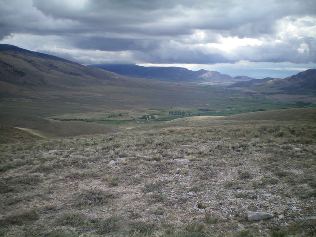
Looking down into the valley northeast of Peak 6388 from the summit. Livingston Douglas Photo
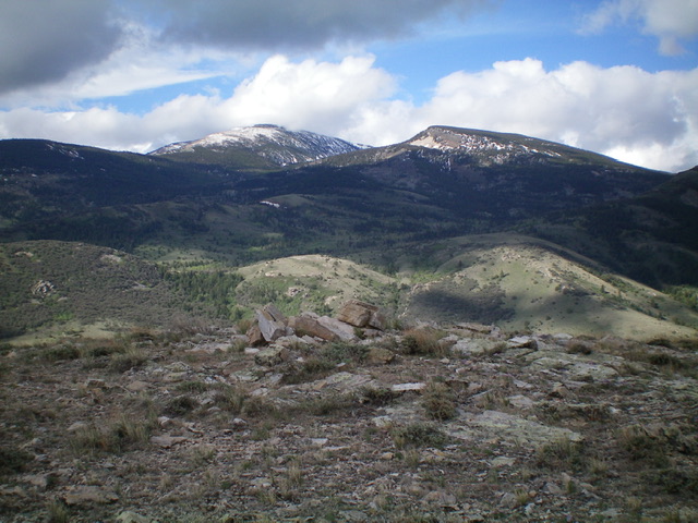
View of the snow-dusted Albion Mountains from the summit of Peak 6388. Livingston Douglas Photo
Additional Resources
Regions: Albion Range->SOUTHERN IDAHO
Mountain Range: Albion Range
Longitude: -113.61121 Latitude: 42.23929