Elevation: 6,420 ft
Prominence: 280
This peak is not in the book. Published November 2022
Peak 6420 is located at the southeast end of the Lake Hills. It separates Road Canyon from Phillips Canyon. Peak 6420 is most easily climbed from nearby Road Canyon Road. This area is a mix of private and public land, so be careful. This hike is entirely on BLM land. USGS Lake Hills
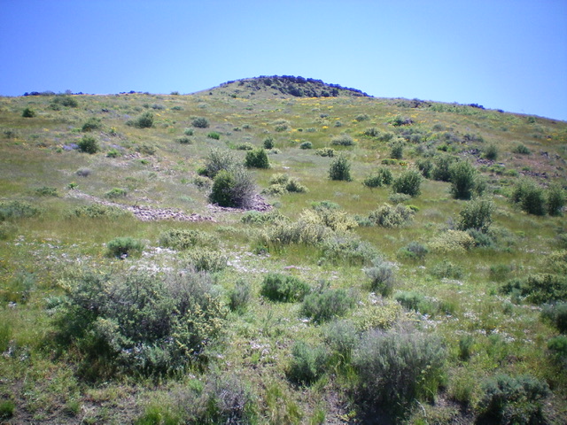
Peak 6420 as viewed from the base of the west face (my ascent route). Livingston Douglas Photo
Access
At a sharp right/east bend in US-20 just northeast of Carey, turn left/north onto [signed] Austin Road and reset your odometer. At 1.0 miles, reach a signed junction with Barton Road (left). Stay straight on Austin Road. At 1.6 miles, reach a signed junction with Road Canyon Road. Turn left/north onto Road Canyon. At 2.7 miles, reach Watercress Spring (on the USGS topo map) at an unsigned junction with a 2-track road heading left/west with a cistern and a large tractor tire. Park at this junction (6,080 feet). GPS coordinates: 43⁰23’12”N, 113⁰55’07”W.
West Face, Class 2
The Climb
From the road junction, cross to the east side of Road Creek Road and scramble directly east up the steep sagebrush face to reach the gentle, open summit. The loose embedded talus underneath the sagebrush makes the climb a bit unstable. There is a small cairn on top.
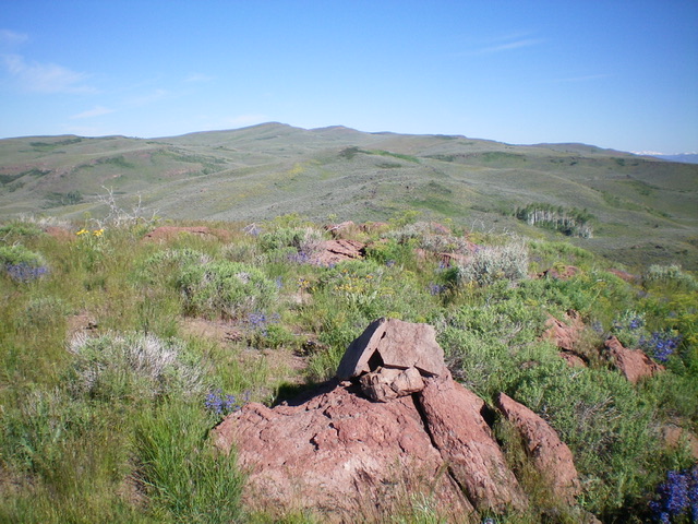
The summit view from atop Peak 6420. Livingston Douglas Photo
Additional Resources
Regions: EASTERN IDAHO->Pioneer Mountains
Mountain Range: Pioneer Mountains
Longitude: -113.91441 Latitude: 43.38669