Elevation: 6,461 ft
Prominence: 340
This peak is not in the book. Published November 2022
Peak 6461 is located south of Jordan Valley, Oregon and just west of the BLM’s Owyhee Uplands Backcountry Byway. Although it does not appear to be much more than a forested bump from the road, this summit has massive views of Oregon, Nevada, and Idaho. USGS Cliffs
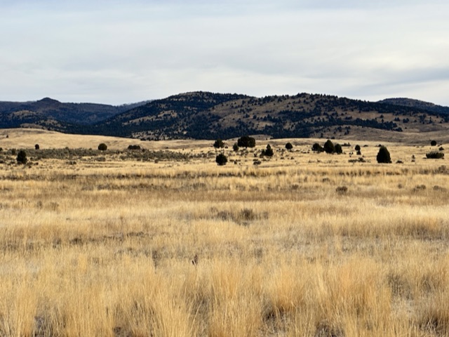
Peak 6461 as viewed from the Owyhee Uplands Scenic Byway
Access
Take Yturri Boulevard east out of Jordan Valley, Oregon. This road quickly changes names, first to Trout Creek Road and then to Pleasant Valley Road. Follow the road south. You can start your climb at any spot you choose between 23.3 miles and 23.8 miles. The best parking spot is at the point where the road passes through a cattleguard. This road is not maintained during the winter.
Southwest Ridge, Class 2
This route crosses a nearly flat but rolling section of ground for for the first half of the hike. This is cattle grazing country so expect to cross a couple of fences. Once the route reaches the base of the southwest ridge, there are a few obstacles including downed junioers, another fence, thick juniper stands, and some ups and downs. None of these obstacles are difficult to bypass. The final climb is through a thick stand of junipers. This round trip adventure covers 7.8 miles with 1,468 feet of elevation gain.
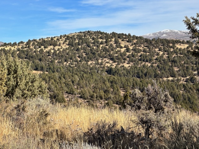
The broad southwest ridge
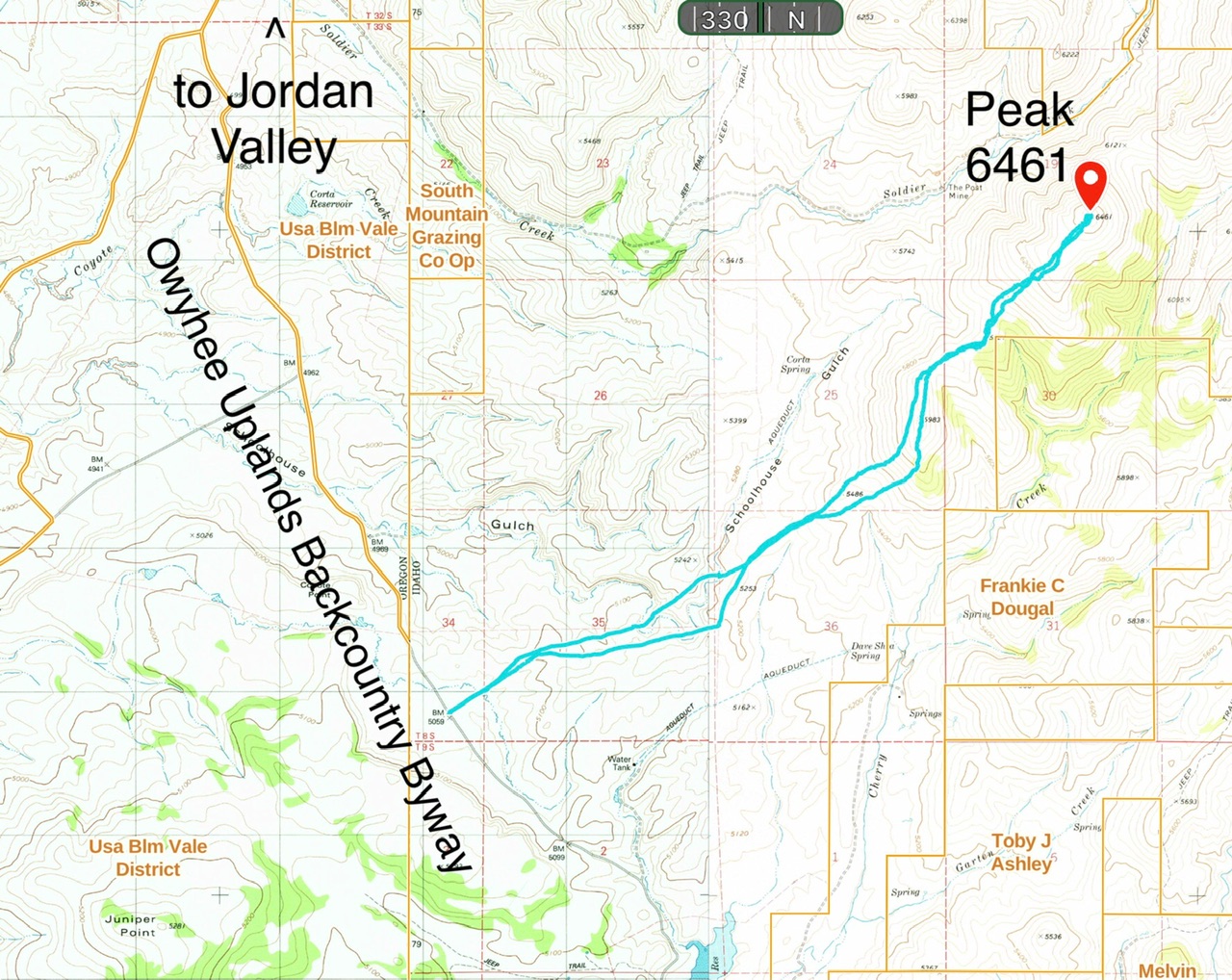
My GPS track. This map shows the private land that you will have to avoid near the base of the southwest ridge.
Additional Resources
Regions: Owyhee Mountains->SOUTHERN IDAHO
Mountain Range: Owyhee Mountains
Year Climbed: 2022
Longitude: -116.96839 Latitude: 42.70919