Elevation: 6,467 ft
Prominence: 287

This peak is not in the book. Published January 2023
Peak 6467 is located at the head of Stinson Canyon and is northwest of Fish Creek Reservoir. The peak is almost due north of [slightly-higher] Stinson Hill (6,660 feet). USGS Fish Creek Reservoir

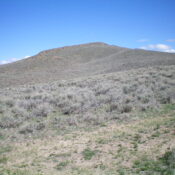
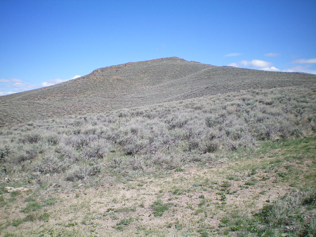
Peak 6467 as viewed from the saddle at the head of Stinson Canyon to its southeast. Livingston Douglas Photo
Access
Fish Creek Road is located along US-20 several miles east of Carey, Idaho and 25.1 miles east of the junction of US-20 and ID-75. Turn left/north onto [signed] Fish Creek Road and drive 5.4 miles north to a signed junction for the “boat ramp.” The “boat ramp” road is actually the West Fork Fish Creek Road. Turn left/north onto West Fork Fish Creek Road and drive 2.7 miles north to an unsigned 3-way road junction. Park at a large pullout on the left/west side of the road here outside a locked, gated cattle fence (5,365 feet).

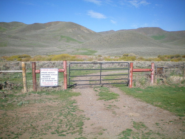
The gated closure at the base of Stinson Canyon (start of hike). Foot traffic is allowed. Livingston Douglas Photo
Southeast Ridge, Class 2
The Climb
From the road junction, jump across the locked cattle gate (foot traffic is allowed on the private jeep road). At 0.3 miles, the road turns sharply left/south and heads up to a private ranch. Though faint, there is a road junction here. Go straight here and follow a very weak 2-track (now just a grassy clearing) up to a fence row that is the boundary for BLM land at the mouth of Stinson Canyon. Cross the stiff cattle fence and follow a decent old jeep road (closed to motorized vehicles) up Stinson Canyon to reach a 6,180-foot saddle at the head of the canyon.
There is an unsigned road junction here. Peak 6467 sits just above, and northwest of, this saddle. From the saddle, go right/north on an old 2-track and follow it up to a fence row on the southeast ridge of Peak 6467. The 2-track ends at this fence row. Scramble left/northwest along this fence row through a combination of sagebrush, other veg, and a few rocky ridge outcrops to reach the cairned summit. The summit offers a splendid view of Stinson Hill to the south.
Additional Resources
Regions: EASTERN IDAHO->Pioneer Mountains
Mountain Range: Pioneer Mountains
Longitude: -113.86871 Latitude: 43.44839
