Elevation: 6,460 ft
Prominence: 320
This peak is not in the book. Published November 2020
Peak 6460 is a gentle scrub hump that is located north of Meadow Creek and west of Pine Creek in the rolling hills northeast of Juniper, ID. Combine a climb of Peak 6460 with nearby Peak 6683 via a loop route that begins at a road junction along Meadow Creek Road to the south. You are likely to see blacktail deer in this area. USGS Sublett Troughs
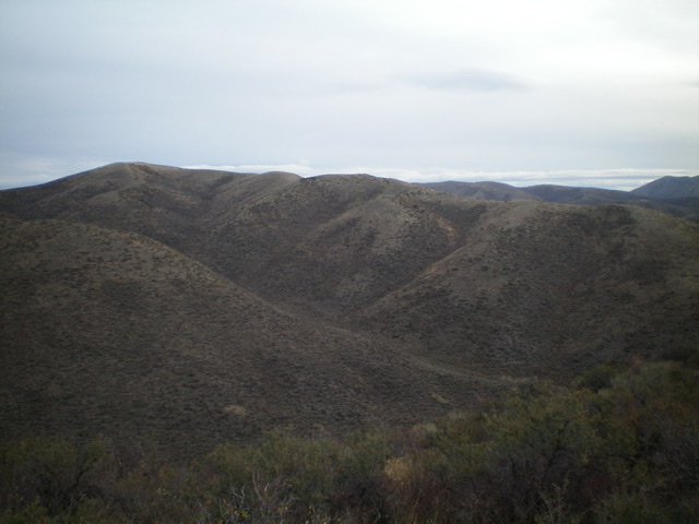
Peak 6460 and its long south ridge (skyline). The summit is in mid-ground at the far left. Livingston Douglas Photo
Access
Meadow Creek Road is located along the I-84 frontage road several miles north of Juniper, ID (Exit 263). It is exactly 5.1 miles north of the Cassia County line (signed) or 6.7 miles north of Juniper Road (signed). Turn right/east onto [unsigned] Meadow Creek Road and reset your odometer. At 3.0 miles, reach the BLM boundary. At 6.5 miles, reach an unsigned road junction. A rugged 4WD jeep road goes left/northwest here. Park in a large pullout area here near an enormous rusted cylinder and some power line poles (5,665 feet). This road junction is at the base of both the south ridge of Peak 6460 and the southeast ridge of Peak 6883.
South Ridge, Class 2
The Climb
From the road junction, bushwhack northeast through sagebrush and other brush (weaving required) to quickly reach the south ridge. Head north up the south ridge on easy, open scrub to reach the small, bare summit of Peak 6460. There is a small cairn on top.
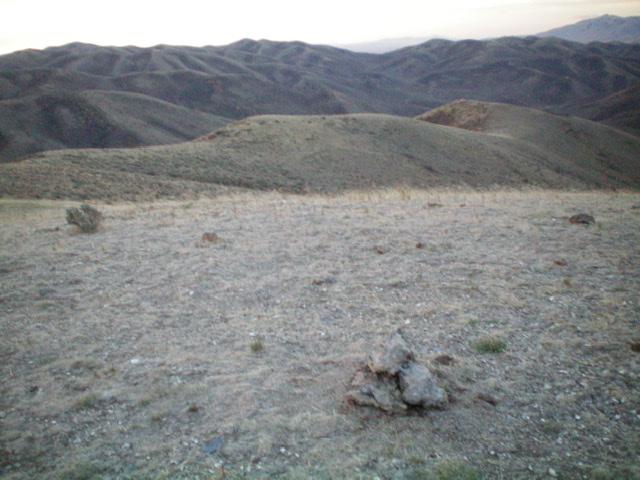
The summit of Peak 6460, looking down the south ridge. Livingston Douglas Photo
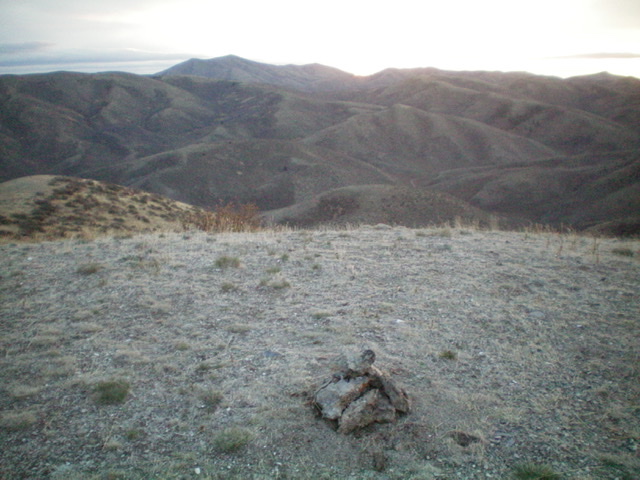
Looking east from the summit of Peak 6460 at sunrise. Livingston Douglas Photo
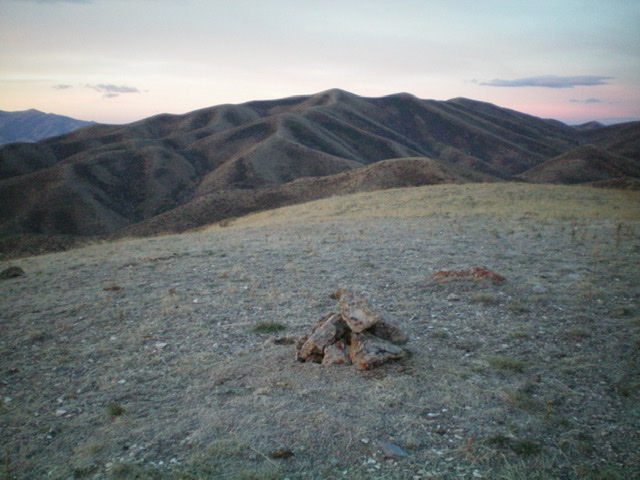
The summit of Peak 6460 with Peak 6883 in the background. Livingston Douglas Photo
West Ridge, Class 2
The Descent
From the summit, descend the meandering, up-and-down west ridge to reach a shoulder that drops steeply west to a road junction in the canyon below. This shoulder is mostly easy scrub and broken rock. There is some sagebrush and brush as you approach the road junction. The road junction is in the middle of a fork in the canyon. This is the low point between Peak 6460 and Peak 6683 and concludes the first leg of today’s two-peak adventure. The 2-track road heading south down the canyon leads to the road junction from whence this journey began.
Additional Resources
Regions: SOUTHERN IDAHO->Sublett Range
Mountain Range: Sublett Range
Longitude: -112.95089 Latitude: 42.25619