Elevation: 6,471 ft
Prominence: 291
This peak is not in the book. Published November 2020
Peak 6471 is a rather insignificant scrub hump that is located northeast of Juniper, ID. It sits above Hay Canyon to its north. Peak 6471 is most easily reached via an old 2-track jeep road that comes up from the Holbrook-Black Pine Road to the south. USGS Juniper
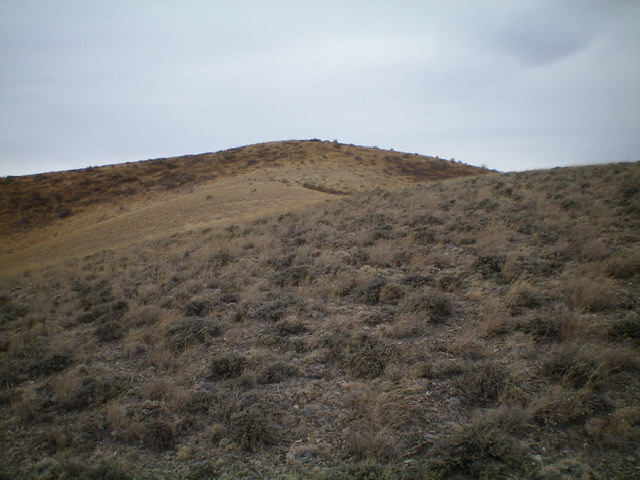
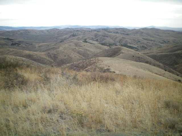
Peak 6471 (center hump) as viewed from high on the south ridge. Livingston Douglas Photo
Access
From the junction of Meadow Brook Road/BLM-027 and ID-37 (northwest of Holbrook), drive southwest then west on BLM-027 (which becomes the Holbrook-Black Pine Road) for 9.2 miles to a sharp left/south turn in the road. There is a cattle guard/fence here and an unsigned 2-track jeep road on the right/north side of the road. Park at this junction (5,452 feet) or drive a short distance up the old road to a dispersed camping area. This old road is shown on both the USGS topo map and the National Forest Map. It is closed to motorized vehicles a short distance up from the junction.
South Gully/Southeast Shoulder/South Ridge, Class 2
The Climb
From the road junction, hike up the 2-track jeep road in a dry gully for about 1.5 miles to 6,000 feet. Leave the road and bushwhack left/northwest up a steep, grassy/brushy shoulder to reach the south ridge. This is a pretty rough, unpleasant section to bushwhack but it is relatively short. Follow the somewhat brushy/grassy ridge north to reach the summit. There is no summit cairn.
A bushwhack-free option is to stay on the 2-track jeep road all the way to a ridgeline northeast of Peak 6471. From there, follow another 2-track jeep road southwest along the ridge to reach the summit of Peak 6471. This is a longer route but requires no bushwhacking.
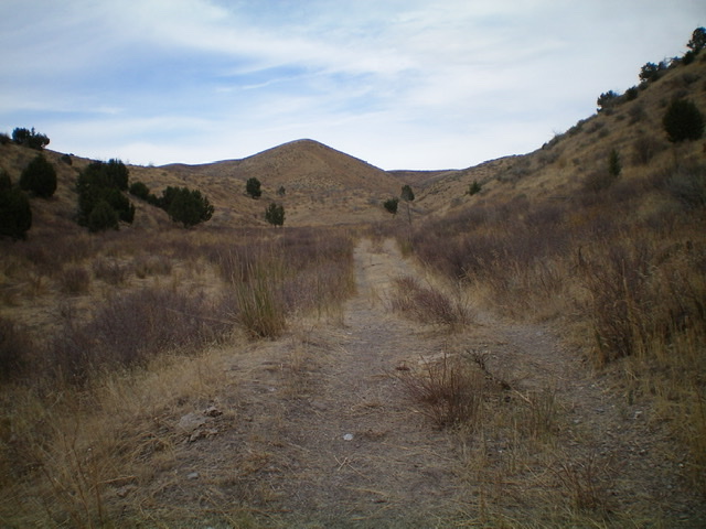
Looking north up the 2-track jeep road toward Peak 6471. Climb the grassy hump (left of center) to reach the south ridge. The summit is not visible from here. Livingston Douglas Photo
The summit of Peak 6471, looking northeast. Livingston Douglas Photo
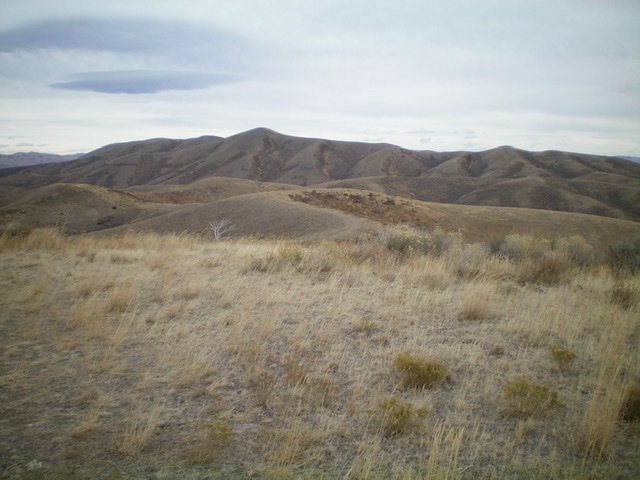
The summit of Peak 6471, looking west. Livingston Douglas Photo
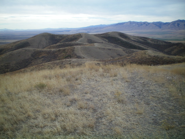
Looking down the south ridge (right of center) from the summit of Peak 6471. Livingston Douglas Photo
Additional Resources
Regions: SOUTHERN IDAHO->Sublett Range
Mountain Range: Sublett Range
Longitude: -112.87819 Latitude: 42.19309