Elevation: 6,540 ft
Prominence: 840
This peak is not in the book.
Peak 6540 is located on the Idaho/Montana border in the Bitterroot Mountains. It is the first ranked summit west of Lolo Pass. USGS Lolo Hot Springs
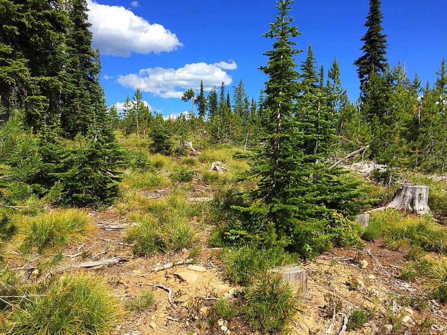
Use FS-595 from Lolo Pass and climb to a junction on the West Side of the peak in 3.6 miles. Large clear-cuts cover this peak rather than a thick forest, which allows visitors to see outstanding views of the Bitterroot Mountains Crest as it runs south from Lolo Pass. The Selway Crags are visible to the west. The summit can be readily reached from this junction by walking east through an old clear-cut for 0.2 miles and approximately 100 feet of elevation gain. Although I ascended the peak in Summer, this is a great peak for a Winter ascent. The total elevation gain from US-12 at Lolo Pass is 1,240 feet. The pass area is a maintained winter recreation area. Class 2.
The hike through the clear-cut is easy enough but is not exactly pleasing. The views from the summit are great.
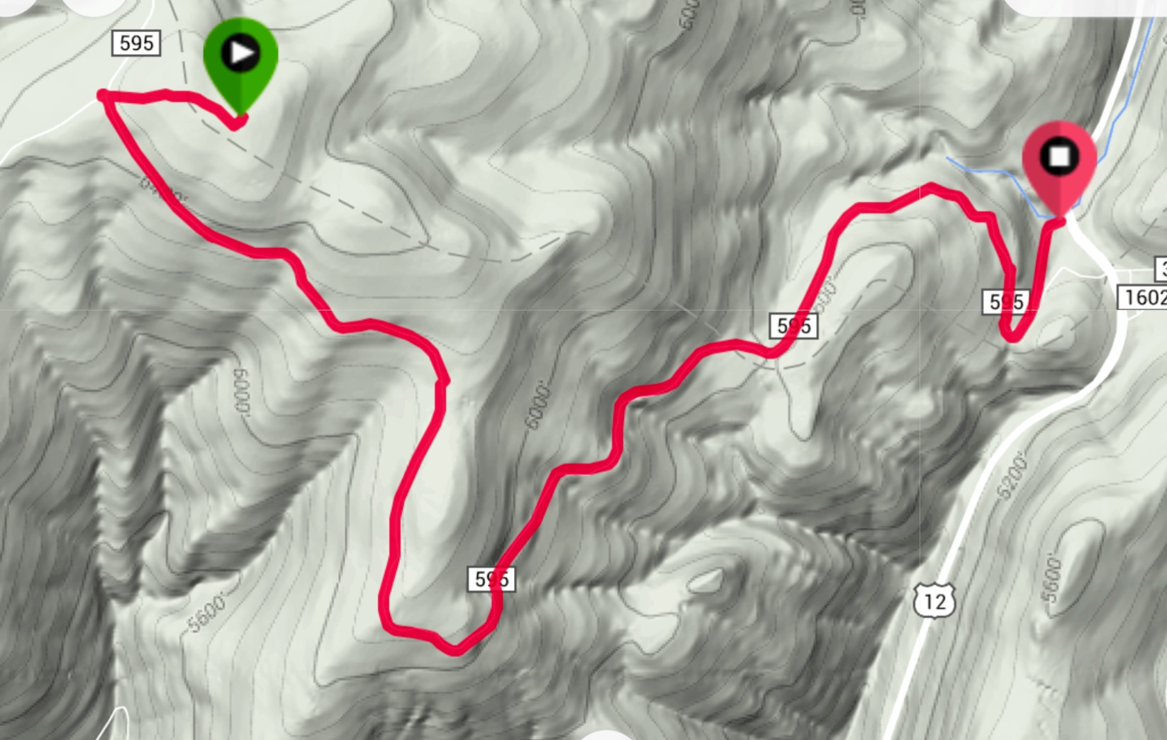
My GPS track.
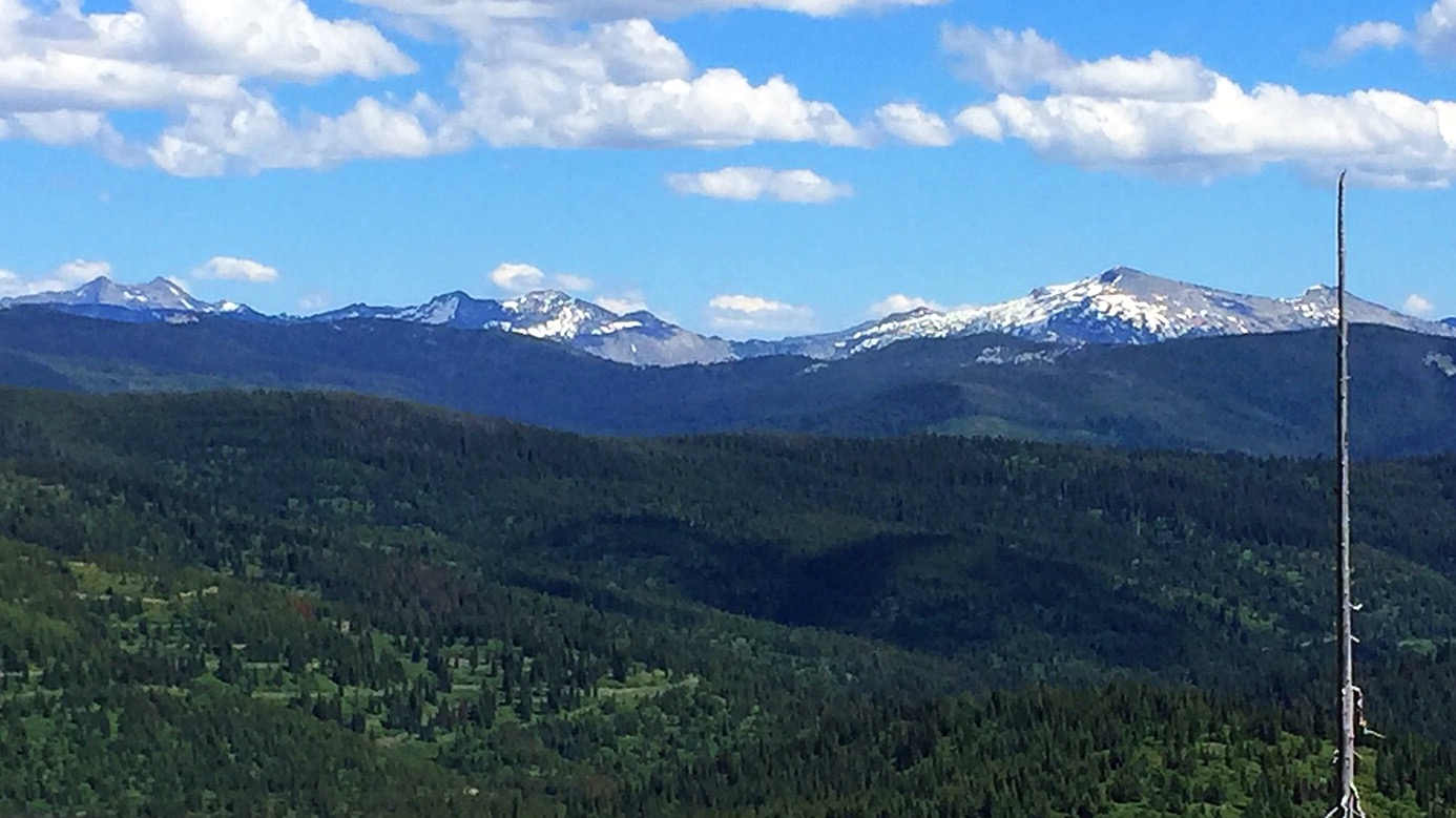
The view of the Bitterroot Mountains Crest looking south over Peak 6540.
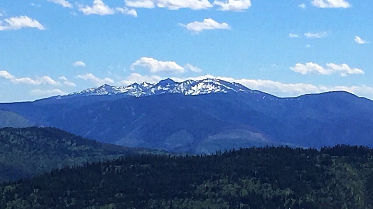
The Grave Peak Area as viewed from Peak 6540.
Dan Saxton climbed this peak in Winter. He reports:
“I did this peak in Winter. It is a snowmobile mecca and is not quite the most aesthetic experience, though fewer of them had made it to the summit area.”
Additional Resources
Regions: Bitterroot Mountains->NORTHERN IDAHO
Mountain Range: Bitterroot Mountains
Year Climbed: 2016
Longitude: -114.61429 Latitude: 46.63919