Elevation: 6,550 ft
Prominence: 370
This peak is not in the book. Published November 2023
Peak 6550 is a gentle, obscure hump that is located west of Ghoul Basin on the east side of Pattee Creek in the Beaverhead Mountains. It is most easily approached via a series of old roads that lead from Agency Creek Road up to Ghoul Basin and then westward to the base of the northeast ridge. Peak 6550 is rarely climbed. USGS Agency Creek
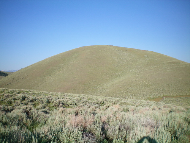
Peak 6550 as viewed from the east. Livingston Douglas Photo
Access
From ID-28 at Tendoy, drive east on [signed] Tendoy Lane for 0.1 miles to a “T” junction. Go right/south here and drive 0.2 miles to a [signed] junction with Agency Creek Road (which goes all the way to Lemhi Pass). Reset your odometer at this junction. At 4.2 miles, pass a BLM campground on the right/southeast side of the road. At 7.1 miles, reach an unsigned junction with an old 2-track road. Park in a pullout just below, and west of, this junction (5,638 feet; 44⁰58’36”N, 113⁰30’59”W).
Northeast Ridge, Class 2
The Climb
From the roadside pullout, walk briefly east on Agency Creek Road to the road junction. Hike north up the overgrown 2-track for about 1-1/2 miles to a set of powerlines in a meadow (Ghoul Basin) and a “T” junction. Go left/west onto a better 2-track that follows the powerlines. The road crests then drops to cross a cattle gate and reach a ridge saddle with an unsigned road junction. From this saddle, follow a 2-track road west as it descends to a saddle with a large corral next to it. Skirt the north side of the corral to reach a saddle/crest. Leave the road here and bushwhack west through a patch of thick-ish sagebrush to reach the crest of the northeast ridge of Peak 6550. Scramble southwest up the open ridge in short, easy scrub to reach the summit. The summit has a modest cairn
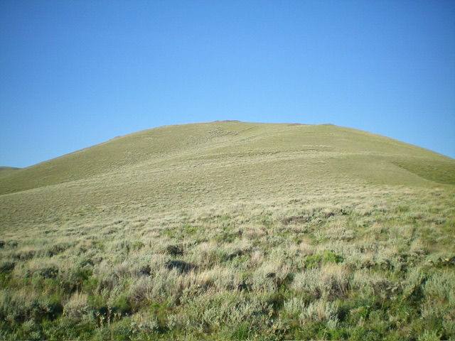
Peak 6550 as viewed from low on the northeast ridge. Livingston Douglas Photo
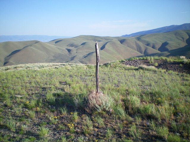
The summit of Peak 6550. Livingston Douglas Photo
Additional Resources
Regions: Beaverhead Range->EASTERN IDAHO
Mountain Range: Beaverhead Range
Longitude: -113.5527 Latitude: 44.9966