Elevation: 6,558 ft
Prominence: 488
This peak is not in the book. Published November 2023
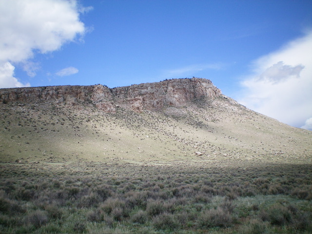
Peak 6558 is one of two rock-and-sagebrush hills located on the northeast side of Mahogany Hill (8,441 feet) in the Pahsimeroi Range. Its south ridge is an easy scramble from a 2-track jeep road. USGS Mahogany Hill
Peak 6558 as viewed from the southeast.Livingston Douglas Photo
Access
From US-93 northeast of Challis, drive south on [signed] Custer Road (which is just west of Ellis) for about 21-22 miles southeast to the [signed] junction with Doublespring Road (5,585 feet on map). Go right/SSE onto Doublespring Road and drive 1.1 miles to an unsigned junction with a 2-track road (right). This junction is at 5,761 feet and 44⁰25’26”N, 113⁰48’22”W. Park here.
Map Errors
Neither the National Forest Map nor the USGS topo map show two critical road segments (and junctions) for this climb.
South Ridge, Class 2
The Climb
From the road junction, hike briefly southwest up the 2-track road to an unsigned, 3-way road junction. Go right/northwest here. The 2-track road heading straight/southwest from this junction is not shown on maps. Hike northwest on a 2-track road for ½ mile to another unsigned junction. Go left/southwest here and follow this 2-track road west-southwest for about ¾ mile to reach the [obvious] base of the south ridge of Peak 6558.
Leave the 2-track road (which is drivable to this point) and scramble north up the ridge in grass/scrub and protruding ground boulders to reach the rocky summit. The south ridge is not difficult. It is mostly a rock/boulder scramble that gets steeper and more difficult as you near the summit. The summit has a small cairn. The east and west sides of the south ridge are mostly impassable due to rocky cliff faces.
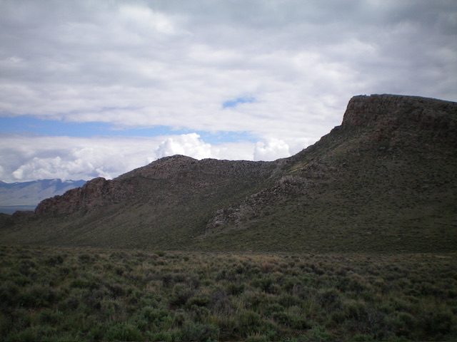
Peak 6558 and its cliffy east face. The summit is at the far right end of the ridgeline. Livingston Douglas Photo
South Ridge/Southwest Face, Class 2
The Descent
From the summit, descend the south ridge to a point where the west side of the ridge relents and allows an easy downclimb southwest to grass/scrub slopes below and then a north-south 2-track road. Once on the road, follow it briefly northwest to reach a saddle at 6,070 feet. This concludes the first leg of today’s 2-peak adventure. Peak 6890 is up next.
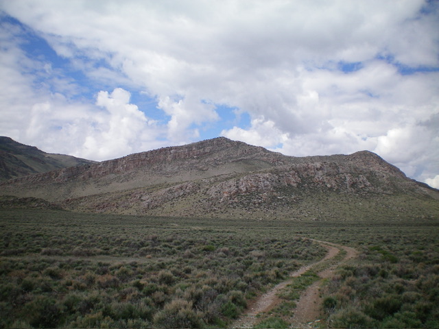
The west aspect of Peak 6558. The summit hump is left of center. Livingston Douglas Photo
Additional Resources
Regions: EASTERN IDAHO->Lost River Range->Pahsimeroi Range
Mountain Range: Lost River Range
Longitude: -113.8286 Latitude: 44.4306