Elevation: 6,580 ft
Prominence: 360
This peak is not in the book. Published January 2023
Peak 6580 is a modest scrub hump that is located east of Sheep Creek Reservoir and just north of US-30. It is most easily climbed from Sheep Creek Road via its west face. This area is a mix of private and public land, so be careful. This hike is entirely on public (State of Idaho) land. USGS Pegram
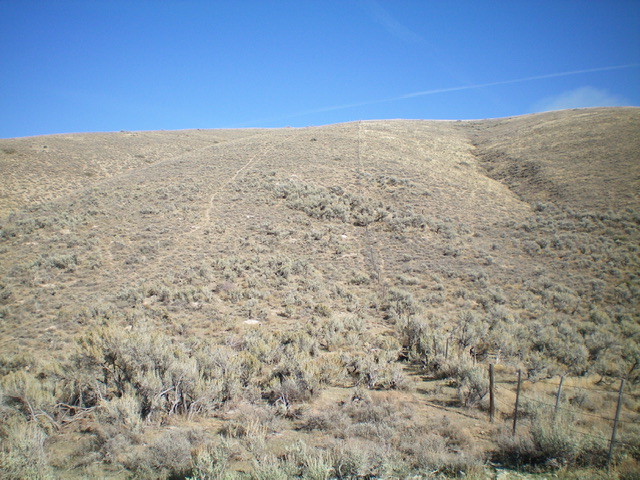
Peak 6580 and its sagebrush-covered, somewhat-steep west face (my ascent route). Stay just left of the cattle fence to remain on public land. Livingston Douglas Photo
Access
From the stoplight at the south end of Montpelier (Maverik and Broulim’s nearby), drive south then southeast on US-30 for 14.5miles to a signed junction with Sheep Creek Road. This junction is 2.4 miles east of Pegram Road. Turn left/north onto Sheep Creek Road and drive 0.7 miles to a cattle guard crossing at a cattle fence. Park at this cattle guard (6,140 feet). GPS coordinates: 42⁰14’29”N, 111⁰08’23”W.
West Shoulder/West Face, Class 2
The Climb
From the cattle guard on Sheep Creek Road, scramble up the left/north side of the cattle fence (which is the dividing line between public and private land). There is an on-and-off, old cattle trail here to help you advance up through the endless sagebrush. High up, reach a fence corner. Jump the fence and continue up to the summit ridge in relatively easy sagebrush. Once on the summit ridge, turn left/north and hike about 150 yards or so to the small summit cairn on the high point. The summit ridge is quite flat in this area but this appears to be the legitimate high point of Peak 6580.
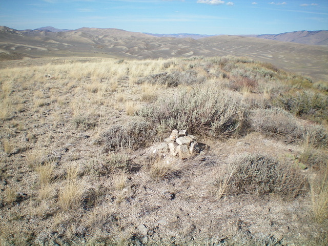
The summit cairn atop Peak 6580, looking north. Livingston Douglas Photo
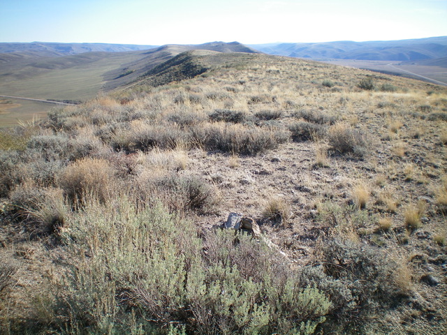
Looking south from the official summit of Peak 6580. Livingston Douglas Photo
Additional Resources
Regions: Peale Mountains->Pruess Range->SOUTHERN IDAHO
Mountain Range: Peale Mountains
Longitude: -111.13219 Latitude: 42.24201