Elevation: 6,601 ft
Prominence: 421
This peak is not in the book. Published November 2023
Peak 6601 is a rugged outcrop that sits above the convergence of Basin Creek and Hayden Creek in the foothills of the Lemhi Range. It is most easily climbed from Basin Creek Road and its southwest shoulder. The east and south aspects of Peak 6601 are particularly rocky and rugged. USGS Hayden Creek
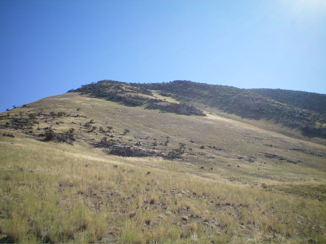
Peak 6601 as viewed from the southwest. Livingston Douglas Photo
Access
From the small hamlet of Lemhi along ID-28 about 18 miles north of Leadore, drive northwest on [signed] Lemhi Road for 0.8 miles to a signed “T” junction with Hayden Creek Road. Turn left/southwest onto paved Hayden Creek Road and follow it for 2.7 miles to a [signed] junction with Basin Creek Road. Go right/west onto Basin Creek Road and drive 0.3 miles to a large pullout on the left/south side of the road. Park here (5,525 feet; 44⁰50’10”N, 113⁰40’44”W). Please note that if you access Hayden Creek Road from its signed junction north of Lemhi, it is 3.3 miles southwest to the road junction with Basin Creek Road.
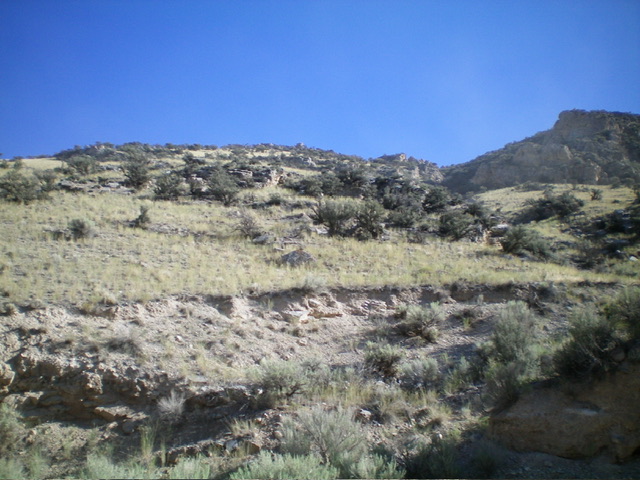
The steep south face of Peak 6601 as viewed from Basin Creek Road. This was my ascent route. The summit is at far right. Livingston Douglas Photo
South Face/South Shoulder, Class 2
The Climb
From the large roadside pullout, cross to the north side of Basin Creek Road and scramble north up a VERY STEEP grass-and-sagebrush slope (with some embedded, sloped slab rock) to intersect a shoulder that is dotted with mountain mahogany. Go right/northeast onto this shoulder and climb it in semi-open terrain in reasonable scrub. This shoulder leads up to the southwest side of the summit cap. Continue northeast then east to the small summit, weaving through a thicker forest of mountain mahogany high up. The semi-open summit had a torn-down cairn which I rebuilt.
West Ridge/Southwest Shoulder, Class 2
The Descent
From the summit, descend west on the rounded ridge, weaving through the mountain mahogany. Emerge from the mountain mahogany and downclimb some easy cliff bands to reach a magnificent open shoulder of easy field grass. Descend this shoulder southwest to near Basin Creek Road. Find a cattle trail to drop off a rocky buttress and reach the road about 0.2-0.3 miles west of the roadside pullout from which this climb began. The descent route is in much easier, flatter terrain than the ascent route.
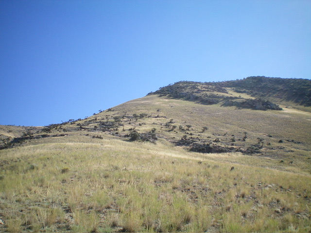
The magnificent southwest shoulder of Peak 6601 (my descent route). The forested summit is right of center. Livingston Douglas Photo
Additional Resources
Regions: EASTERN IDAHO->Lemhi Range
Mountain Range: Lemhi Range
Longitude: -113.6738 Latitude: 44.8414