Elevation: 6,620 ft
Prominence: 280
This peak is not in the book. Published November 2020
Peak 6620 separates Latham Hollow from Trail Creek. It is a rather inconsequential scrub hump and is an easy climb from the jeep road that connects the Antelope Creek Road to Trail Creek Road. Park on a saddle that sits at the base of the northwest ridge. USGS Grouse
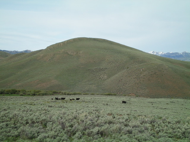
Peak 6620 as viewed from the east. Livingston Douglas Photo
Access
Antelope Creek Road/FSR-137 is located 11.5 miles north of the Conoco gas station at the south end of Arco, ID on US-93. The junction is poorly signed, so look for the road itself. Drive 10.9 miles southwest on FSR-137 to a signed junction at a bridge crossing of Antelope Creek. Go left and cross the Antelope Creek on a good bridge to continue on Antelope Creek Road. From the signed junction at the bridge crossing, drive 1.8 miles farther up Antelope Creek Road to an unsigned road junction. Turn left/east onto the unsigned jeep road and drive east for 0.6 miles to a saddle and park (6,280 feet). This road leads from Antelope Creek Road to Trail Creek.
Northwest Ridge, Class 2
The Climb
From the saddle, hike southeast up an old jeep road over a ridge hump and drop 20 vertical feet to a minor saddle. From here, leave the road and bushwhack southeast up through moderately thick sagebrush to reach shorter scrub and a cattle fence high up. Cross to the left/east side of the cattle fence to reach the high point on this flat, gentle scrub summit. There was no summit cairn so I built one. There is a “cowboy cairn” down a short distance to the south from the summit area.
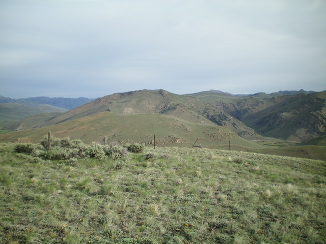
The summit area of Peak 6620, looking north. Livingston Douglas Photo
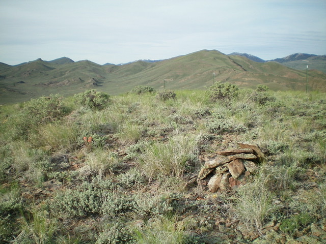
The newly-built summit cairn atop Peak 6620, looking southwest. Livingston Douglas Photo
Additional Resources
Regions: EASTERN IDAHO->Pioneer Mountains
Mountain Range: Pioneer Mountains
Longitude: -113.56709 Latitude: 43.68139