Elevation: 6,623 ft
Prominence: 443
This peak is not in the book. Published January 2023
Peak 6623 is a ridgeline summit that is south of Bear River and east of Road Hollow. There is a massive gas pipeline facility northeast of the summit down in Road Hollow. Peak 6623 can be most easily climbed via its west face from Indian Creek Road. However, given the lack of parking pullouts, it is probably best climbed via its north ridge from a road junction near the gas pipeline facility. This area is a mix of public and private land, so be careful. USGS Pegram Creek
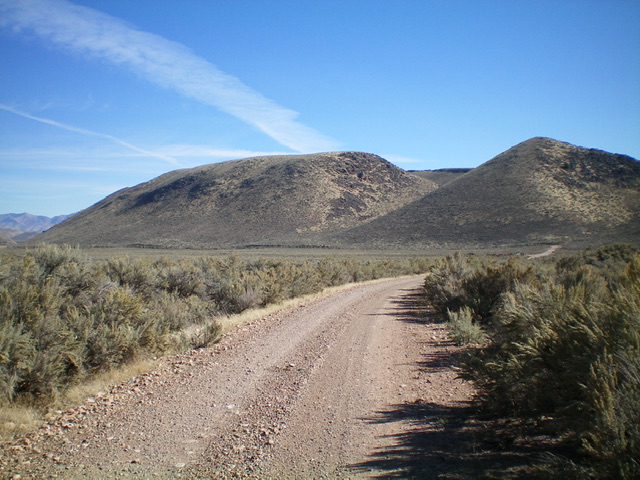
Peak 6623 (the hump in dead center) as viewed from Indian Creek Road to its southwest. Livingston Douglas Photo
Access
The junction of [signed] Sorenson Road and [unsigned] Indian Creek Road is located just east of a large gas pipeline facility. The junction is just east of the entrance to that facility. To reach this junction, drive south from Pegram Road on [signed] Poverty Flat Road for 0.7 miles to its junction with Sorenson Road. Drive west on Sorenson Road for 0.7 miles to its junction with Indian Creek Road. Park here (6,030 feet). GPS coordinates: 42⁰07’30”N, 111⁰09’10”W.
North Ridge, Class 2
The Climb
From the road junction, hike briefly south on an old 2-track that ends at the base of the north ridge. Bushwhack south up a steep slope of thick sagebrush and other scrub with underlying talus/scree. Higher up, scramble up a few sections of steep, but stable, boulders to reach the flattish summit ridge. Follow the tedious ridge (a mix of boulders and thick scrub) for a good 0.3 miles south to the not-so-obvious summit. There is no cairn on top and no loose rocks with which to build one. According to land management maps, this route crosses a patch of private land near the road junction. However, there is no fencing or signage to prohibit entry.
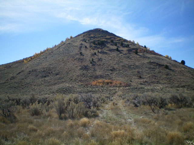
The north end of the summit ridge of Peak 6623 as viewed from the road junction at the start of the climb. The climb to the ridge is a combination of thick scrub and steep boulders. The summit hump is not in view. Livingston Douglas Photo
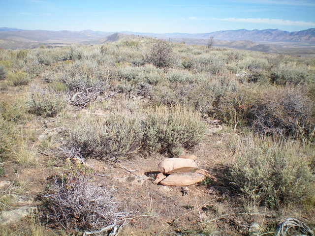
The brushy summit of Peak 6623. Livingston Douglas Photo
Additional Resources
Regions: Bear Lake Plateau->SOUTHERN IDAHO
Mountain Range: Bear Lake Plateau
Longitude: -111.1549 Latitude: 42.1164