Elevation: 6,631 ft
Prominence: 745
This peak is not in the book. Published November 2023
Peak 6631 towers over Cronks Canyon in the Eastern Salmon River Mountain. It sits above the convergence of Dry Gulch and the Salmon River. The west, south, and east aspects of Peak 6631 are all rugged and steep. The easiest approach is from the north via a connecting ridge with Nipple Benchmark (7,058 feet). USGS Ellis
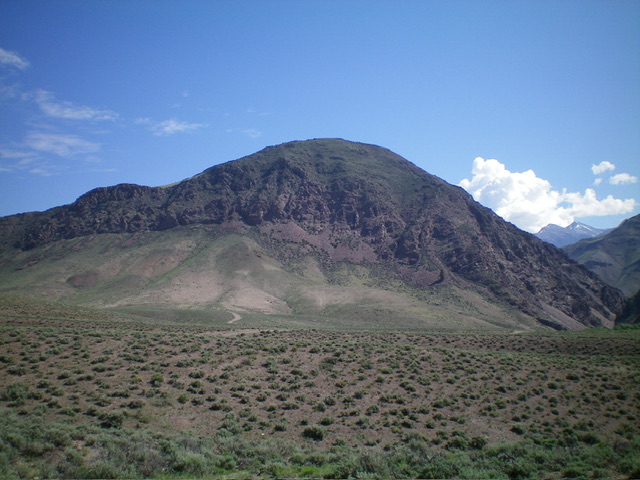
Peak 6631 as viewed from the southwest. Livingston Douglas Photo
Access
Same as for Peak 5792. This is the third leg of a 3-peak adventure that includes Peak 5792, Peak 5940, and Peak 6631 in the Eastern Salmon River Mountains northwest of Ellis. This adventure covers 7.5 miles with 3,675 feet of elevation gain round trip.
West Gully/Upper West Face, Class 3
The Climb
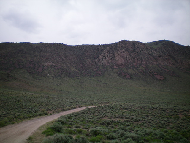
From the unsigned road junction along Dry Gulch Road (4,955 feet), head east briefly on Dry Gulch Road to a sharp right/south bend. Leave the road here and scramble northeast up an easy scrub shoulder. Look for a diagonal, rocky gully heading right/southeast on the left edge of the cliff bands on the west face of Peak 6631. Work your way over to this gully/chute in thicker scrub, crossing an easy, dry gully on the way. Scramble up the gully in mostly boulders (with some talus) to reach a mix of steeper boulders and brush/scrub higher up.
As you near the top of the cliff band, exit the gully left/east and quickly reach the top of the steep west face. Now the terrain is much easier. Head southeast up a tilted plateau of easy grass/sagebrush, staying right/south of two rocky ridge points on the way. Reach the crest of the north ridge high up and continue scrambling southeast to the summit. The summit has a small cairn and a “T” triangulation post laying on the ground.
The rugged west face of Peak 6631. My ascent route is in dead center. The summit is at far right. Livingston Douglas Photo
West Face, Class 3+
The Descent
From the summit, return to the entry point at the top of the west face cliffs. Descend directly west down through a steep mix of face rock and brush. The terrain is a mix of narrow chutes, ledges, and steep face rock. This is rugged terrain (Class 3+) so take it slowly. Move a bit right/north to find easier gullies as you descend. This descent route has much more brush but less boulders than the West Gully/Upper West Face Route. Upon reaching the easy sagebrush on the valley floor, bushwhack left/southwest to intersect Dry Gulch Road. Follow Dry Gulch Road south then Hat Creek Road west for a total of 1-1/2 miles to return to the parking pullout just above the Salmon River.
North Ridge, Class 2
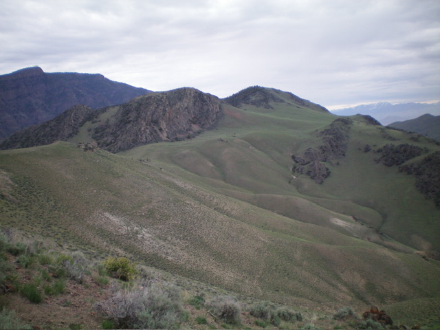
This is the easiest route to the summit. From the unsigned road junction along Dry Gulch Road (4,955 feet), hike ¾ mile north then northeast up the [unsigned] 2-track road to its end at an old, rusty cattle cistern (“WT” on the USGS topo map). Bushwhack briefly northeast through thick sagebrush to quickly reach a fork in the gully. Head hard right/southeast here and bushwhack up a narrow gully and move onto a sagebrush face on it right/west side. Scramble south up the face to a flat area at 5,980 feet. Skirt the right/west side of Point 6103. Head southeast up the west side of the north ridge in easy, open scrub/grass, skirting two rocky ridge points along the way. Reach the ridge crest high up and continue right/southeast to the summit.
Peak 6631 as viewed from the northwest. The summit is just right of center. Livingston Douglas Photo
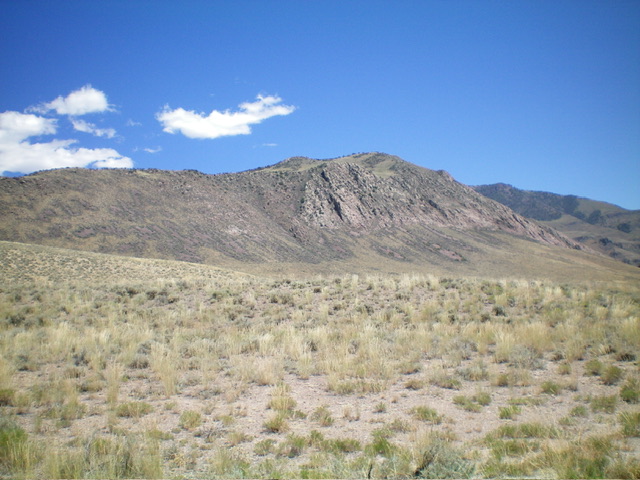
Peak 6631 as viewed from the northwest. Livingston Douglas Photo
Additional Resources
Regions: Eastern Salmon River Mountains->Salmon River Mountains->Southeast Corner Peaks->WESTERN IDAHO
Mountain Range: Eastern Salmon River Mountains
Longitude: -114.0176 Latitude: 44.7274