Elevation: 6,648 ft
Prominence: 388
This peak is not in the book. Published January 2023
Peak 6648 is a minor sagebrush hump that is located southwest of Geneva along US-89. It is most easily climbed from Thomas Fork Road to its west. Peak 6648 is entirely on private land so you must obtain permission from the landowner before undertaking this short climb. USGS Geneva
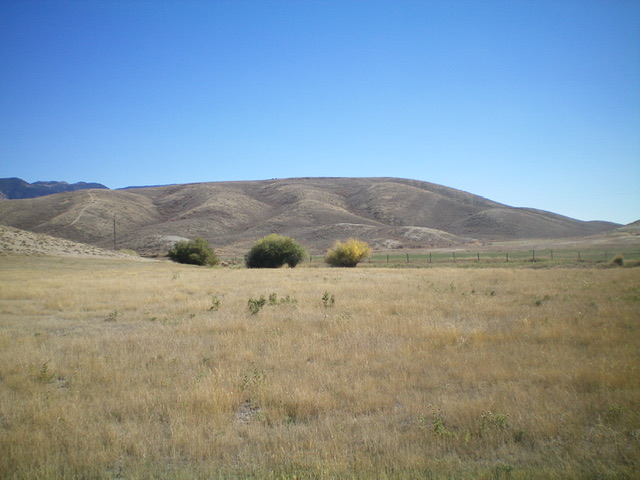
Peak 6648 as viewed from US-89 to its northwest. Livingston Douglas Photo
Access
From US-89 (northeast of Geneva Summit or 2.3 miles southwest of Geneva), turn south onto [signed] Bauman Lane. Follow Bauman Lane to its merger into Thomas Fork Road. Head right/south along Thomas Fork Road to a 2-track side road and fence row (shown on the USGS topo map) that heads directly left/east to the summit area. Park at this unsigned road junction (6,270 feet), about 0.7 miles from US-89. GPS coordinates: 42⁰20’38”N, 111⁰05’27”W. The land on the east side of Thomas Fork Road is fenced but is not posted.
West Shoulder, Class 2
The Climb
From Thomas Fork Road, follow the 2-track road and cross a cattle fence. Once across the fence, follow another cattle fence that heads east directly up a gully to the summit area. Leave the fence row almost immediately and scramble up an easy sagebrush shoulder that follows the right/south side of the fence row and leads directly to the scrub-covered summit. The sagebrush requires some weaving in its lower sections but isn’t too bad. The summit had no summit cairn nor rocks with which to build one.
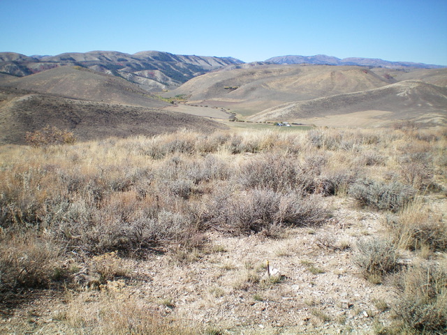
Summit view from Peak 6648, looking northwest toward US-89. Notice the small piece of rebar in the foreground of the photo, marking the official summit high point. No summit cairn up here. Livingston Douglas Photo
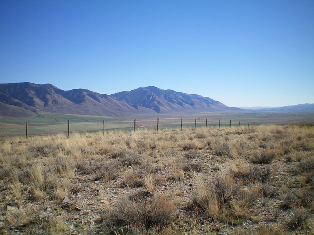
The summit of Peak 6648. Livingston Douglas Photo
Additional Resources
Regions: Peale Mountains->Pruess Range->SOUTHERN IDAHO
Mountain Range: Peale Mountains
Longitude: -111.0863 Latitude: 42.3434