Elevation: 6,666 ft
Prominence: 366
This peak is not in the book. Published November 2023
Peak 6666 sits on a high ridgeline at the head of Keystone Gulch and just northeast of Gibbonsville. It can be most easily climbed on National Forest land from Gibbonsville Road to its south. This area is a mix of private and public land, so be careful. USGS Gibbonsville
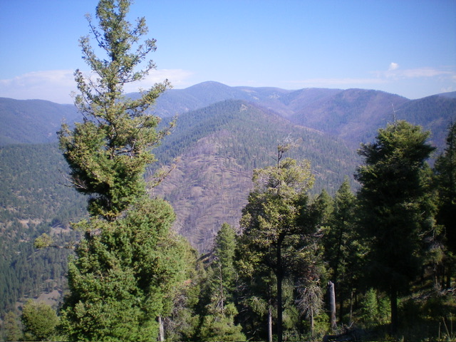
Peak 6666 (in mid-ground) as viewed from the south. Livingston Douglas Photo
Access
From US-93 at Gibbonsville, turn right/east onto [signed] Gibbonsville Road/FSR-079 and drive 2.1 miles northeast then east to the Salmon National Forest boundary sign at a side spur road (that leads to a campsite) on the left/north side of the road. Park here (4,740 feet; 45⁰33’26”N, 113⁰53’45”W).
Southeast Spur/South Ridge, Class 2
The Climb
From the National Forest boundary, bushwhack steeply west then northwest up the southeast spur in a mix of loose gravel, brush, and pine forest. Once on the south ridge, scramble north up the rounded ridge crest in semi-open terrain. The south ridge is a mix of scattered pines, downed logs/trees, loose underlying talus/scree, and tall field grass/scrub. The ridge wiggles a bit but is not difficult to follow. The ridge climb is tedious due to the tall field grass/scrub and the downed timber, but it goes. The south ridge has a few flattish areas. The ridge makes a final jog left-ish/northwest to reach the high point in a pine forest at a ridge corner.
There was no summit cairn so I built a small one. Due to the pine forest, there are no views from the summit. The south ridge crosses a small corner of private property but this corner (not fenced or posted) can be skirted on its right/east side with no problem. Cross an old mining road at about 6,080 feet. Above this road, there are many signs of logging (cut tree stumps, cut logs/pieces on the ground). Loose underlying talus/scree combined with tall grass and short willows make the south ridge climb a bit tedious and annoying.
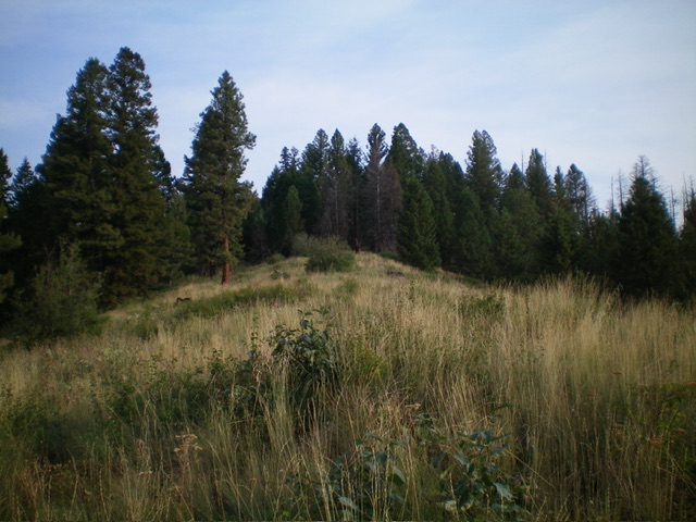
Peak 6666 (summit is in the forest) as viewed from the semi-open south ridge. Livingston Douglas Photo
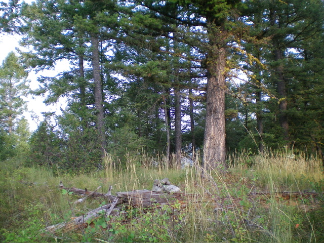
The forested summit of Peak 6666 with its newly-built summit cairn. Livingston Douglas Photo
Additional Resources
Regions: Beaverhead Range->EASTERN IDAHO
Mountain Range: Beaverhead Range
Longitude: -113.9033 Latitude: 45.5817