Elevation: 6,675 ft
Prominence: 345
This peak is not in the book. Published January 2023
Peak 6675 is a minor hump that is located just east of ID-34 and Blackfoot Reservoir. It is easily climbed by a combination of two overgrown 2-track jeep roads that get you to the summit plateau. USGS China Hat
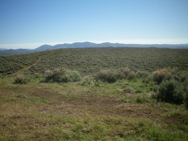
Peak 6675 is the scrub hump in mid-ground as viewed from the west. Livingston Douglas Photo
Access
From ID-34, find a weak 2-track road that is located 3.5 miles south of Henry and 3.0 miles north of [signed] Blackfoot River Road. This unsigned 2-track road is overgrown and rutted. You will need a 4WD vehicle with high clearance to clear the raised middle of the road. It is best to hike the road rather than drive up it.
West Face, Class 1
The Climb
From the base of the 2-track road at ID-34 (42⁰51’43”N, 111⁰32’45”W), hike east up the 2-track as it meanders its way up to an unsigned “T” junction. Go left/north and follow another 2-track road up a ridge. The road then turns right/east and drops to a saddle. Continue northeast on the 2-track as it climbs to the summit plateau. Peak 6675 is just to the right/south of the 2-track road. The high point seems to be a large ground boulder.
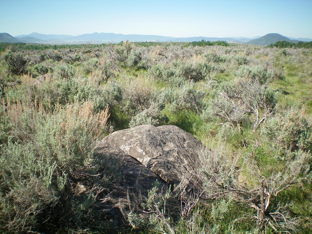
The summit of Peak 6675. The ground boulder in the foreground is probably the high point. Livingston Douglas Photo
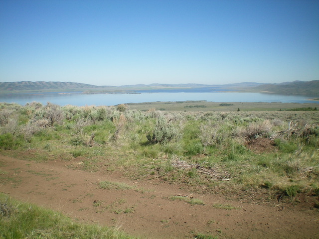
View of Blackfoot Reservoir from the summit of Peak 6675. Livingston Douglas Photo
Additional Resources
Regions: Blackfoot Mountains->SOUTHERN IDAHO
Mountain Range: Blackfoot Mountains
Longitude: -111.53501 Latitude: 42.87079