Elevation: 6,700 ft
Prominence: 640
This peak is not in the book. Published January 2023
Peak 6700 is located near the mouth of Cold Spring Canyon on its south side. It is most easily reached from the north via Cold Spring Canyon Road (1825S Road). USGS Sublett Reservoir
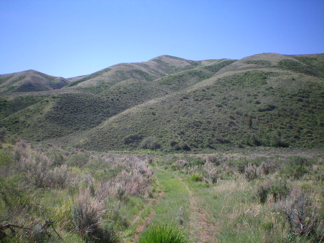
Peak 6700 (dead center). The northwest ridge begins in the lower left of the photo, climbs diagonally up and rightward, then goes straight (well right of center in the photo), and finally bends left to reach the summit. Livingston Douglas Photo
Access
From Exit 254 (Sweetzer Road) on I-84, drive 0.1 miles east to the frontage road (signed as Meadow Creek Road). Turn left/north onto Meadow Creek Road and drive 3.3 miles to a signed junction at an underpass. Turn right/east onto 1850S Road and drive 0.3 miles to a signed junction with 1825S Road (Cold Spring Canyon Road). Turn right/east onto Cold Spring Canyon Road and drive 5.4 miles to an unsigned junction and a large water tank (shown on the USGS topo map). Park near the water tank on the right/south side of the road (5,535 feet).
Northwest Ridge, Class 2
The Climb
From the water tank, bushwhack south up a steep face of thick sagebrush to reach an easier ridge of short scrub. Follow the ridge on easy scrub (with a few short patches of dense sagebrush/scrub) to reach short scrub with a broken rock base higher up. Continue up the weaving ridge as it bends left/southeast. At 6,440 feet, the ridge heads left/east to climb up over Point 6613, a prominent, gentle ridge hump that is easy to mistake as the true summit when viewed from the road and the ridge. From Point 6613, descend south for 50 vertical feet to an elongated saddle of dense sagebrush/scrub. Continue south then left/east on short scrub to reach the summit. There are numerous ridges and gullies on all sides of this peak.
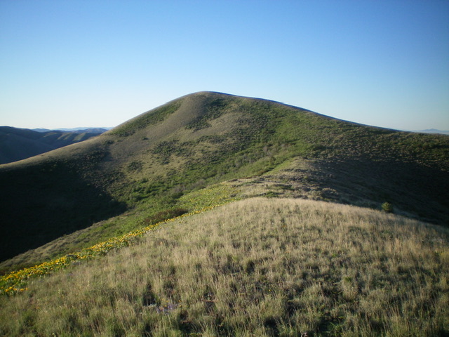
Looking up the northwest ridge of Peak 6700. The summit sits behind the hump left of center. Livingston Douglas Photo
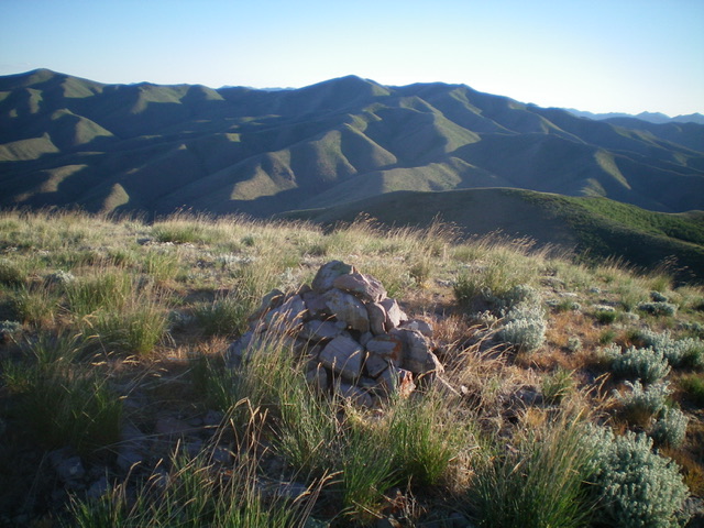
The summit cairn atop Peak 6700. Livingston Douglas Photo
Additional Resources
Regions: SOUTHERN IDAHO->Sublett Range
Mountain Range: Sublett Range
Longitude: -113.02429 Latitude: 42.26069