Elevation: 6,795 ft
Prominence: 335
This peak is not in the book. Published November 2023
Peak 6795 is located on a ridgeline just west of Napoleon Hill, deep in the Eastern Salmon River Mountains. This area is a mix of live pines and burnt pines. An old jeep track climbs the south ridge of Peak 6795 and then skirts its east side. Only a modest bushwhack is required to reach the summit. USGS Napoleon Hill
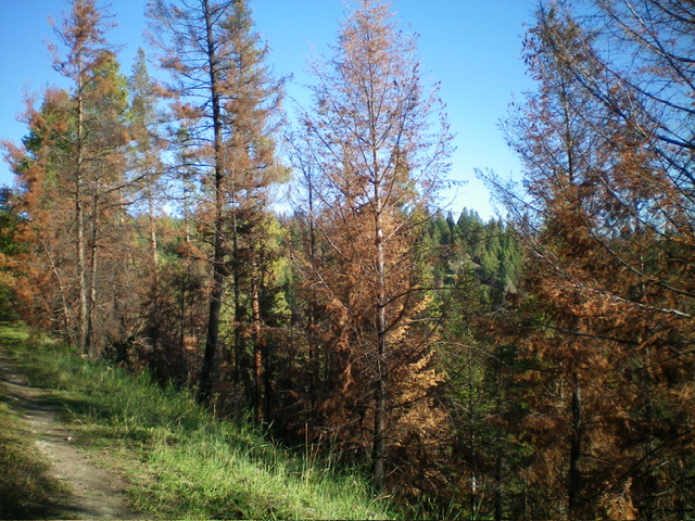
Peak 6795 is the forested hill that is hiding behind the roadside pines on FSR-183. Livingston Douglas Photo
Access
From the Sinclair Gas Station at the north end of Salmon on US-93, drive 3.1 miles north on US-93 to a signed junction with Diamond Creek Road at the Lemhi County Fairgrounds. Turn left/west onto Diamond Creek Road and reset your odometer. At 0.5 miles, the road bends hard right/north. At 0.8 miles, reach a “Y” junction. Go left onto [signed] FSR-023.
At 11.6 miles, reach a 4-way signed junction on a saddle. Continue straight/west on FSR-023 for 3.7 miles to a signed junction with FSR-406. This junction is just after passing a Guard Station and crossing a small creek on a bridge. Turn right here and drive north on FSR-406 to a signed “T” junction. Go right onto FSR-183 and cross a cattle guard to reach a parking area in a grassy field just past the cattle guard. Park here (6,440feet; 45⁰20’03”N, 114⁰02’40”W). The road is pretty rough after this point.
South Ridge, Class 2
The Climb
This is mostly a road hike. From the grassy parking area, hike briefly north on FSR-183 very briefly to reach a signed road junction. Go left/west here to stay on FSR-183. FSR-183 is full of numerous mud holes and is not an easy hike. It would be an impossible drive. Follow the old 2-track road as it heads west then north then northwest to the base of the south side of the summit cap. The road bends sharply right/northeast here.
Leave the road and bushwhack west up through a reasonable, live pine forest to quickly reach the south ridge. Follow the mix of field grass and live pines on the ridge crest north then northwest to the summit area. The summit area is a mix of live pines, burnt pines, deadfall, and grass. There is no obvious high point so wander around until there seems to be no area that is higher and claim victory. I could not find much loose talus with which to build a summit cairn.
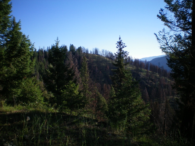
Point 6640+ (semi-open) on the east ridge of Peak 6795. Livingston Douglas Photo
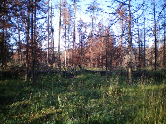
The charred summit of Peak 6795. Livingston Douglas Photo
Southeast Face, Class 2
The Descent
From the summit, descend southeast through mostly charred pine forest to reach FSR-183. Follow the road south back to the grassy parking area at the base of the road near the cattle guard.
Additional Resources
Mountain Range: Eastern Salmon River Mountains
Longitude: -114.0532 Latitude: 45.3502