Elevation: 6,814 ft
Prominence: 322
This peak is not in the book. Published January 2023
Peak 6814 is located due southeast of Sugarloaf Mountain (7,142 feet) on Outlet Ridge. The peak is most publicly accessible from the northwest and is best climbed in conjunction with Sugarloaf Mountain. This area is a mix of private and public land so please obtain permission from the landowner(s) before undertaking this climb. USGS Homer Valley
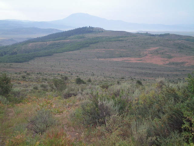
Peak 6814 (summit of left of center) as viewed from the northwest. Livingston Douglas Photo
Access
From Exit 116 (Sunnyside Road) on I-15 in Idaho Falls, drive east on Sunnyside Road to its end at a signed “T” junction with Bond Road. This junction is 9.1 miles east of Ammon Road. Turn right/south onto Bone Road and reset your odometer. At8.5 miles, reach a signed junction with Blackfoot Reservoir Road, just south of Bone. Continue straight/south on [unsigned] Long Valley Road. At 21.7 miles, reach a road junction at a corral that is signed for “Foster 100 Ranch/Turnaround Corral.” Drive east up a 2-track road from this corral for 0.6 miles to a gated closure. Park at this closure (6,410 feet). GPS coordinates: 43⁰12’07”N, 111⁰36’31”W.
Northwest Ridge, Class 2
The Climb
From the gated road closure, go through a cattle fence and hike east across a grassy meadow with a weak 2-track going through it. At the east end of the meadow, go through a cattle gate to reach a “T” junction with an old 2-track road (shown on the USGS topo map). Follow this 2-track road east then southeast to a sharp left bend at a cistern and a gully. Continue hiking along this road as it now heads northeast up the gully. Just over ½ mile up from the sharp bend, the road goes through a cattle gate/fence and reaches a flattish, saddle-like area near the toe of the southeast ridge of Sugarloaf Mountain.
Leave the road here and bushwhack right/east through sagebrush. Drop 30 feet and cross two minor drainages. Continue east up to Point 6865, bashing through sagebrush all the way. Find a 2-track jeep road (not shown on maps) and follow it east then southeast down a rounded ridge to reach a fence row. The road goes left/east here to follow the left/north side of the fence row and soon reaches a fence corner. Leave the 2-track road here and jump to the south side of the fence row and descend a cattle trail on the right/west side of a fence row southeast to a saddle area and a 2-track road that crosses the saddle.
From this saddle, there are two options. Jump to the left/east side of the fence row and follow a 2-track road up the ridge (my descent route) OR continue to follow the right/west side of the fence row up to a shoulder and bushwhack east through sagebrush to intercept the 2-track higher up on the ridge (my ascent route). According to land management maps, both options are entirely on BLM land. Choose your poison.
Once you reach the 2-track road at a point on the northwest ridge at the top of a west spur (at about 6,660 feet), you now move onto private land. Follow the 2-track road southeast along the ridge all the way to near the summit. Please note that the USGS topo map fails to show the full length of this 2-track road. The 2-track skirts the north side of Point 6748 and proceeds to reach the north side of Peak 6814. Leave the road as you approach Peak 6814 and scramble right/southeast up through gapped sagebrush (not too bad) to reach the cairned, open summit of gravel and short scrub.
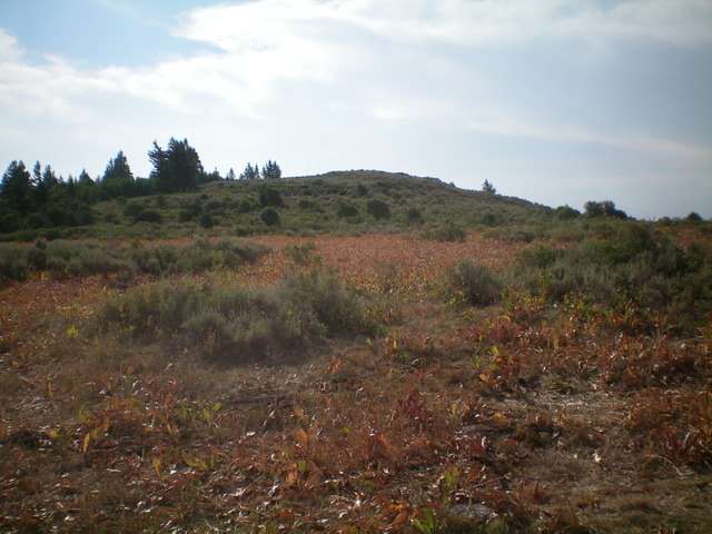
The gentle summit hump of Peak 6814 as viewed from high on the northwest ridge, my ascent route. Livingston Douglas Photo
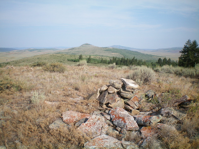
The summit cairn atop Peak 6814 with Sugarloaf Mountain in the distance. Livingston Douglas Photo
Additional Resources
Regions: Caribou Range->SOUTHERN IDAHO
Mountain Range: Caribou Range
Longitude: -111.5355 Latitude: 43.1878