Elevation: 6,825 ft
Prominence: 285
This peak is not in the book. Published January 2023
Peak 6825 is on private land and is closed to the public. It is a large scrub hump that is located due west of St. Charles and on the south side of Green Canyon. If you can secure permission from the land owner Peak 6825 could easily be climbed from Green Canyon Road to its north or from a private road to its west. USGS Saint Charles
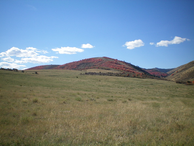
Peak 6825 (dead center) as viewed from the west. Livingston Douglas Photo
Access
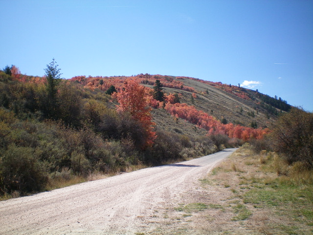
From US-89 in St. Charles, turn right/west onto 200 North (which becomes Green Canyon Road). Drive west on this road to reach the potential climbing routes described below.
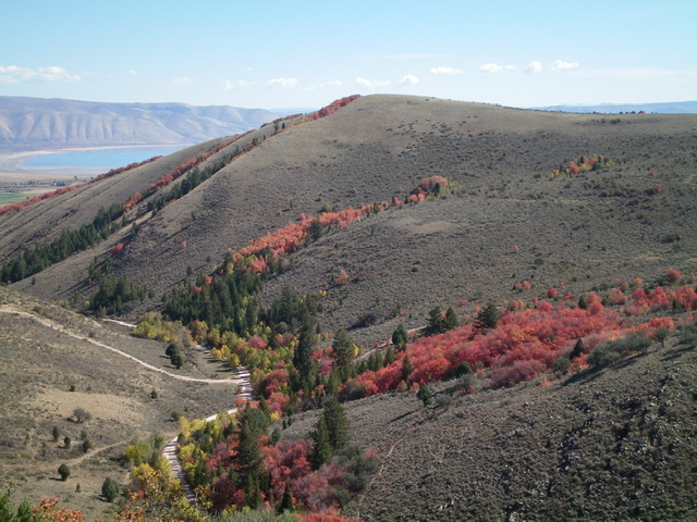
Northeast Ridge, Class 2
Drive west up Green Canyon Road for about 1.4 miles and park. Cross a cattle fence and scramble left/south in open sagebrush to reach the beautiful northeast ridge (see photo). Once on the ridge, follow it through open scrub to the gentle summit hump.
Northwest Ridge, Class 2
This is probably the shortest (but steepest) route to the summit. Drive about 1.8 miles up Green Canyon Road and park alongside the road. Bushwhack southeast up through sagebrush and scattered trees to reach the gentle summit hump.
West Face, Class 2
Peak 6825 (dead center) as viewed from the northeast. Livingston Douglas Photo
This is probably the shortest, easiest route to the summit. Drive about 2.0 miles up Green Canyon Road to an unsigned junction with a private road that heads left/south. Walk up the road to a saddle at 6,540 feet. Scramble east up a rounded shoulder of sagebrush and angle left/northeast higher up to reach the gentle summit hump.
The north face of Peak 6825 as viewed from Green Canyon Road to its north. Livingston Douglas Photo
Additional Resources
Regions: Bear River Range->SOUTHERN IDAHO
Mountain Range: Bear River Range