Elevation: 6,857 ft
Prominence: 352
This peak is not in the book. Published November 2023
Peak 6857 is a forested hump that sits above the mouth of Trail Canyon northeast of Soda Springs. Its northwest side is on BLM land but is a thick, forested bushwhack. USGS Soda Springs
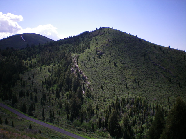
Peak 6857 (mid-ground in center) as viewed from high on Peak 7003 to its southeast. Livingston Douglas Photo
Access
From the junction of US-30 and ID-34 in Soda Springs, drive north on ID-34 for 3.0 miles to the signed junction with [paved] Trail Canyon Road/FSR-124. Go right/east onto Trail Canyon Road and drive 2.8 miles to a minor pullout on the right/south side of the road, about 0.1 mile before reaching a crest in the road in an open meadow. The roadside pullout is at 6,375 feet and 42⁰41’48”N, 111⁰31’34”W. This area is a mix of private land and BLM land, so be careful. This climb is entirely on BLM land.
North Ridge, Class 2
The Climb
From the roadside pullout, hike briefly east up Trail Canyon Road and leave it just before reaching a fence row and posted land to the east. The toe of the north ridge is on posted, private land so you cannot climb the peak from the very bottom of the ridge. The fence row is the dividing line between BLM land and private ranch land. Bushwhack south on the right/west side of the ridge crest and fence row. The ridge terrain is in somewhat-thick brush and forest (a mix of aspens and pines). High up, the fence row ends.
But you must stay just right/west of the ridge crest to remain on BLM land until the ridge bends right-ish/south-southwest to reach the summit. The summit and the uppermost section of the north ridge is entirely on BLM land. The summit of Peak 6857 is in open scrub and has two humps. The south hump is the official high point and has two pieces of rebar poking out of the ground. I built a summit cairn at the base of the rebar protrusions.
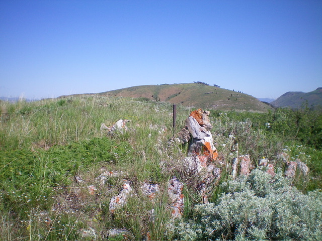
The summit cairn atop Peak 6857. Livingston Douglas Photo
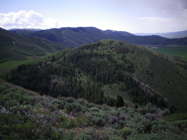
Peak 6857 (dead center) as viewed from the northwest. Livingston Douglas Photo
Additional Resources
Regions: Aspen Range->Peale Mountains->SOUTHERN IDAHO
Mountain Range: Peale Mountains
Longitude: -111.5264 Latitude: 42.6926