Elevation: 6,950 ft
Prominence: 440
This peak is not in the book. Published January 2023
Peak 6950 is located west-northwest of the northwest corner of Blackfoot Reservoir. It is the high point of a minor ridge on the southwest side of Brush Creek. It is most easily climbed from Short Cut Road on its east side. USGS Paradise Valley
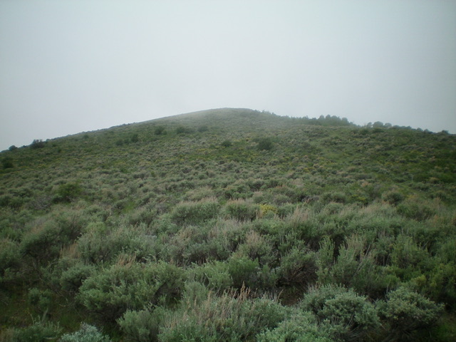
The summit hump of Peak 6950 as viewed from high on the southeast ridge, my ascent route. Livingston Douglas Photo
Access
From Exit 116 (Sunnyside Road) on I-15 in Idaho Falls, drive east on Sunnyside Road to its end at a signed “T” junction with Bond Road. This junction is 9.1 miles east of Ammon Road. Turn right/south onto Bone Road and drive 8.5 miles south to a signed junction with Blackfoot Reservoir Road, just south of Bone. Turn right/west onto Blackfoot Reservoir Road. The road quickly bends left/south and begins its journey to Blackfoot Reservoir.
Drive 20.5 miles on Blackfoot Reservoir Road to a signed junction at the northwest corner of Blackfoot Reservoir. Continue straight/south on Government Dam Road for 1.1 miles to reach a signed junction with Short Cut Road. Turn right/west onto Short Cut Road and drive 1.4 miles to an unsigned junction with a 2-track road heading left/south up a gully. Park here (6,495 feet). GPS coordinates: 43⁰02’12”N, 111⁰44’47”W.
Northeast Spur/Southeast Ridge, Class 2
The Climb
From the road junction, hike a short distance northwest up Short Cut Road, passing another smaller gully on the way, to reach the northeast spur. Leave the road and bushwhack southwest through moderate-to-thick sagebrush and other brush on the broad shoulder to a forested area higher up. Skirt the left/south edge of the forest through more tedious brush to intercept the southeast ridge. Scramble northwest up the ridge crest on easy scrub to reach the summit. There is a fence row and old 2-track on the ridge to expedite the ascent. There is a tall summit cairn located just below, and west of, the true high point.
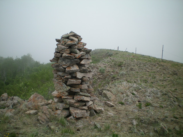
The summit area of Peak 6950. The tall summit cairn is not on the high point. The high point is behind the cairn and is about 10 feet higher. Livingston Douglas Photo
Additional Resources
Regions: Blackfoot Mountains->SOUTHERN IDAHO
Mountain Range: Blackfoot Mountains
Longitude: -111.7687 Latitude: 43.0384