Elevation: 7,020 ft
Prominence: 760
This peak is not in the book. Updated October 2025
Peak 7020 is a stunning ridgeline summit located southeast of Malad City, ID. The mountain is situated between Twomile Canyon to the north and Fourmile Canyon to the south. Its north ridge is a magnificent ridge scramble from Twomile Canyon Road/FSR-052. However, the summit ridge crest is a bit of a nightmare. USGS Malad City East
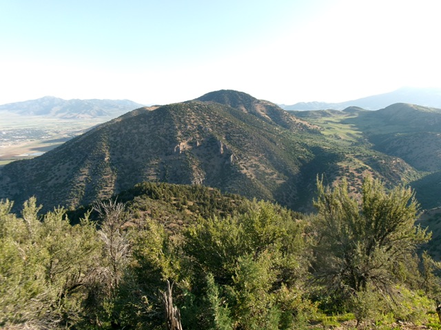
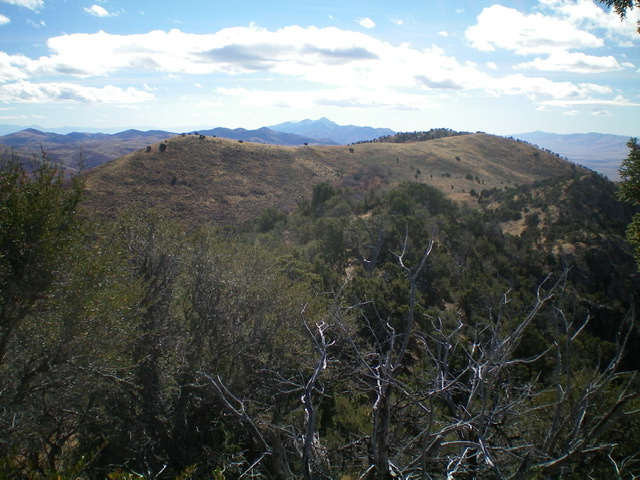
Peak 7020 and its long, magnificent north ridge (upper left to lower right). Livingston Douglas Photo
Access
From the Maverik Gas Station at Exit 13 on I-15 at Malad City, drive south on [signed] 3rd East for 1.5 miles to an road junction. Turn left/east onto [unsigned] Twomile Canyon Road. Drive 2.3 miles east on Twomile Canyon Road to a cattle guard/fence. Park just beyond the cattle guard in a roadside pullout (5,205 feet). This area has a patch of private land farther to the east so be careful. Based on maps of private and public land, this climb is entirely on public land.
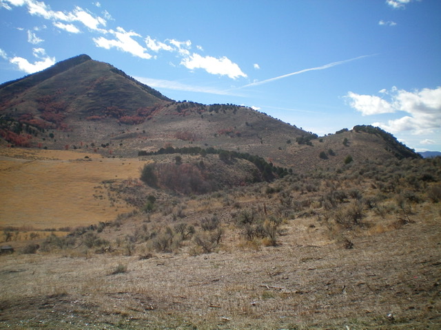
Peak 7020 as viewed from the north. The north ridge is in dead center. Livingston Douglas Photo
North Ridge, Class 2
The Climb
From the cattle guard, cross to the south side of Twomile Canyon Road. Jump a stiff cattle fence and cross a small stream. Scramble up a STEEP cattle trail alongside the cattle fence east to reach another cattle fence that heads right/south up the steep ridge. Jump another cattle fence here and follow the fence row up steep, loose scree/dirt on a cattle trail on the ridge crest. The cattle fence bends right-ish/southwest near Point 5610 and becomes a two-wire electric fence.
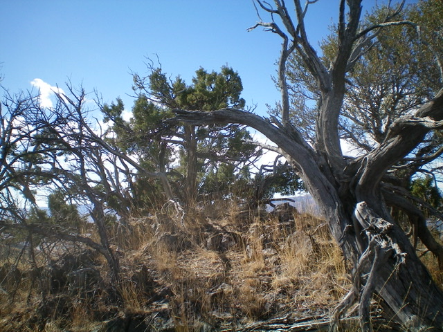
Follow the left/east side of the fence row up the ridge crest until the fence ends in a rocky ridge section. From there, climb the ridge on short scrub on or just right/west of the ridge crest for the easiest going. Reach the narrow summit ridge by climbing up over an imposing, but easy rocky ridge outcrop. The summit ridge is a clogged mess of pines, brush, boulders, and rocky outcrops. The USGS topo map is unclear as to where the high point is. Let’s investigate this ridge crest and find the high point, if there is one.
Visibility is nil on this ridge crest so we will not be able to make a visual comparison of the potential high points. The altimeter must do the work. The first possible summit is the north summit. It is semi-open and has a splendid view of Malad City. Just south of it is another possible high point. This point has a small summit cairn. South of that point are two other rocky outcrops that might be the high point. Finally, the southernmost point (the south summit) is semi-open and is at the south end of this awful ridge crest.
The south summit measures slightly higher than all of the other ridge points/bumps, so I believe that the south summit is the high point of Peak 7020. All of the other summits are of equal height and are slightly lower than the south summit, but by only five vertical feet, which is within the margin of error. I suppose that you must stand on all of the possible summits to KNOW that you reached the high point of Peak 7020.
The south summit of Peak 7020. Livingston Douglas Photo
The massif of Peak 7020 as viewed from Peak 6583 to its south. The forested summit hump is in the distance. Livingston Douglas Photo
Looking south from the south summit of Peak 7020. Point 7002 is the left hump and Dalam BM (7,000 feet) is the right hump. Livingston Douglas Photo
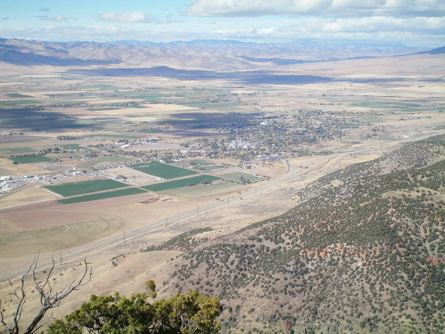
The view of Malad City from the north summit of Peak 7020. Livingston Douglas Photo
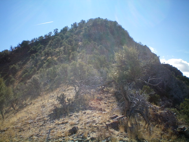
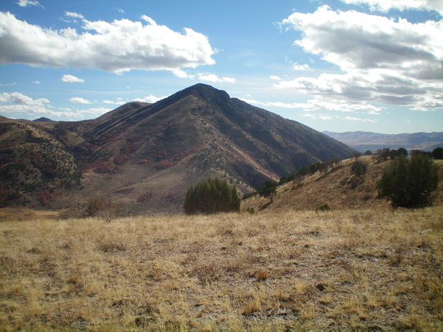
The rugged, rocky summit cap of Peak 7020, as viewed from high on the north ridge. Livingston Douglas Photo
Additional Resources
Regions: Bannock Range->Malad Range->SOUTHERN IDAHO
Mountain Range: Bannock Range
Longitude: -112.19619 Latitude: 42.15649