Elevation: 7,057 ft
Prominence: 572

This peak is not in the book.
Peak 7057 is a peakbagger’s dream with easy access and only a short walk to its summit. This peak is located east of Horseshoe Bend on the Boise Ridge. USGS Harris Creek Summit
Access
Approach the peak from Horseshoe Bend. From the south end of town, take the paved and then gravel road east to Harris Creek Summit. This road is signed for Placerville. It is 13 well-graded miles to Harris Creek Summit.
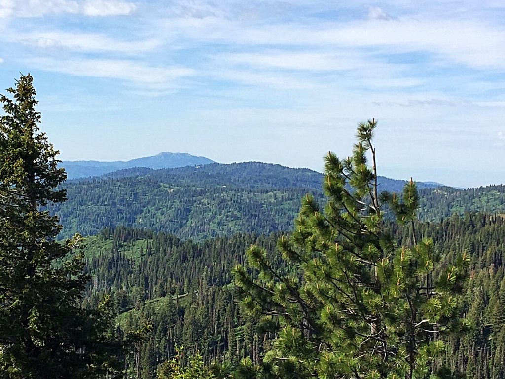
Peak 7057 as viewed from Peak 7201, with Shafer Butte in the background.
At the summit, turn onto FS-374 which runs north along a ridge system to the lookout. This road requires a high-clearance vehicle. It is roughly 3.0 miles to the West Slopes of Peak 7057. Sorry, I forgot to note the distance on my odometer.
Northwest Ridge, Class 1+
There is a 4WD road that climbs up the Northwest Slopes to the summit in 0.5 miles. You can also choose to climb the peak via a game trail that leaves the main road from a saddle on the North Side of the peak. There are good views from the bald summit, especially of Shafer Buttte.
Additional Resources
Regions: Boise Mountains->WESTERN IDAHO
Mountain Range: Boise Mountains
Year Climbed: 2016
Longitude: -116.04949 Latitude: 43.92929