Elevation: 7,060 ft
Prominence: 440
This peak is not in the book. Published November 2020
Peak 7060 separates Marsh Canyon from Wood Canyon. It towers over Antelope Creek to its south and offers a splendid view of Appendicitis Hill to its southeast. This area is mostly private land. However, if you plan properly, you can remain on BLM land if climbing the south spur/southeast ridge from Antelope Creek Road or the east face/southeast ridge from Marsh Canyon Road. USGS Grouse
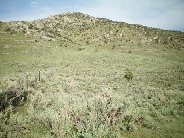
Looking up the fence row and the east face of Peak 7060 (the ascent route) from the parking pullout on Marsh Canyon Road. Livingston Douglas Photo
Access
Antelope Creek Road/FSR-137 is located 11.5 miles north of the Conoco gas station at the south end of Arco, ID on US-93. The junction is poorly signed, so look for the road itself. Drive 6.6 miles southwest on FSR-137 to a signed junction for Marsh Canyon Road/FSR-210. Turn right onto Marsh Canyon Road and drive 0.3 miles to a cattle gate/fence. Park just past the cattle gate in a parking pullout area (5,955 feet). You are now on BLM land.
East Face/Southeast Ridge, Class 2
The Climb
From the parking pullout, scramble west up the right/north side of the cattle fence to a rock/scrub shoulder where the fence seems to end. The dilapidated remains of the fence soon reappear (no posts, only rusty barbed wire laying on the ground). Continue up the rocky shoulder, climbing over easy rock strata and ramps, to reach the crest of the southeast ridge at a false summit.
Follow the ridge northwest to the gentle hump that is the summit of Peak 7060. The climb up to the southeast ridge entails lots of sagebrush and some weaving is required. The fence row has a weak foot path on its right/north side. It is a good navigational tool. The summit has triangulation posts and wiring south of the high point but no USGS benchmark. The views of Antelope Creek and Appendicitis Hill are magnificent.
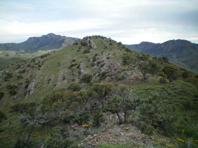
The summit of Peak 7060 (dead center) as viewed from high on the southeast ridge. Livingston Douglas Photo
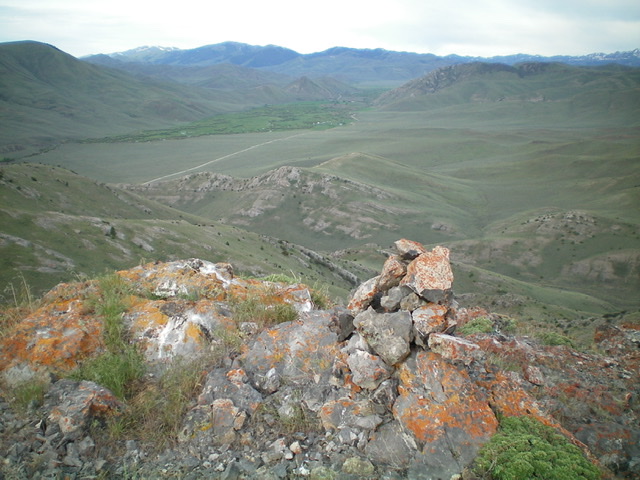
The summit cairn atop Peak 7060 with the Antelope Valley below, looking upstream. Livingston Douglas Photo
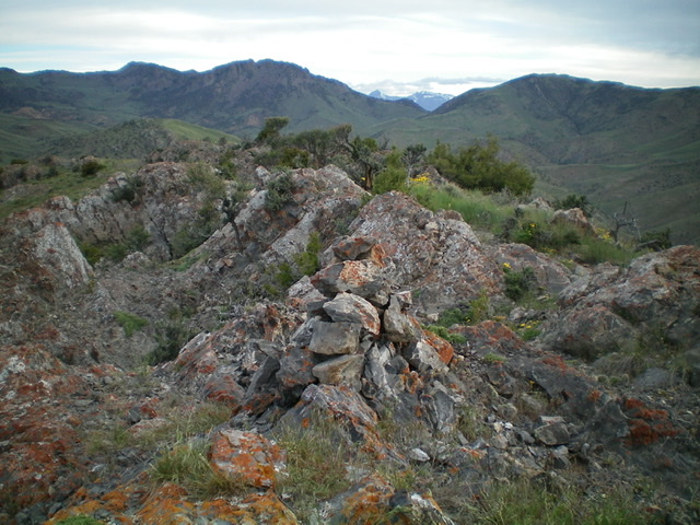
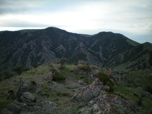
Looking down the choppy southeast ridge from the summit of Peak 7060. Livingston Douglas Photo
Appendicitis Hill (left) and Peak 8319 (right) as viewed from the summit of Peak 7060. Livingston Douglas Photo
Additional Resources
Regions: EASTERN IDAHO->White Knob Mountains
Mountain Range: White Knob Mountains
Longitude: -113.51569 Latitude: 43.74609