Elevation: 7,075 ft
Prominence: 335
This peak is not in the book. Published January 2023
Peak 7075 is a minor scrub hump that sits on a ridgeline that separates Green Canyon from St. Charles Canyon in the Bear River Range. It is most easily climbed from Green Canyon Road. This area is a mix of private and public land, so be careful. This climb is entirely on BLM land. USGS Saint Charles
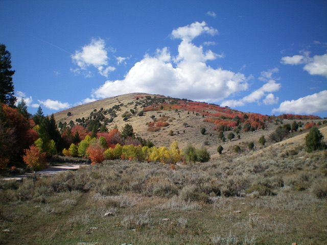
Peak 7075 as viewed from the east. Livingston Douglas Photo
Access
From US-89 in St. Charles, turn right/west onto 200 North (which becomes Green Canyon Road). Drive west on this road for 2.2 miles to a small pullout on the left side of the road at the base of the steep southeast face of Peak 7075. Park here (6,455 feet). GPS coordinates: 42⁰06’31”N, 111⁰25’49”W.
Southeast Face/East Ridge, Class 2
The Climb
From Green Canyon Road, scramble northwest straight up the steep, grassy slope (with scattered mountain mahogany) to reach the crest of the east ridge. Follow the easy east ridge left/west up through field grass and scattered mountain mahogany to reach the summit. The summit is a collection of large boulders. There is no summit cairn. The summit offers splendid views of the surrounding peaks and valleys.
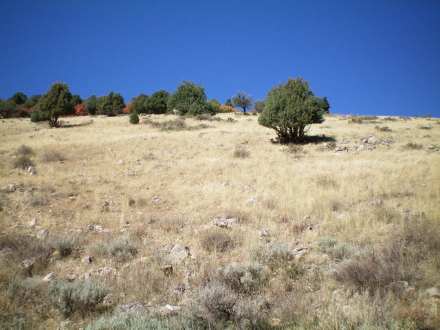
Looking up the steep southeast face from its base on Green Canyon Road. Livingston Douglas Photo
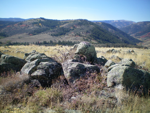
The summit boulders atop Peak 7075. Livingston Douglas Photo
Additional Resources
Regions: Bear River Range->SOUTHERN IDAHO
Mountain Range: Bear River Range
Longitude: -111.4356 Latitude: 42.1096