Elevation: 7,081 ft
Prominence: 351
This peak is not in the book. Published January 2023
Peak 7081 is located on the northeast side of Blackfoot Reservoir. It sits southwest of Pelican Ridge and southeast of Gaston Beatty Spring. Peak 7081 is most easily climbed via its west ridge. USGS Henry
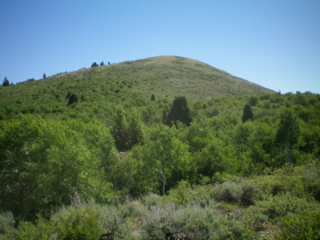
The summit hump of Peak 7081 as viewed from high on the west ridge. Livingston Douglas Photo
Access
From ID-34 just north of Henry, turn left/west onto Blackfoot North Access Road (shown as North Reservoir Road on the USGS topo map). Drive 6.2 miles west then northwest to an unsigned junction with a 2-track road (not shown on maps) that heads east up a dry gully. Park at this junction (6,160 feet). GPS coordinates: 42⁰56’56”N, 111⁰36’40”W.
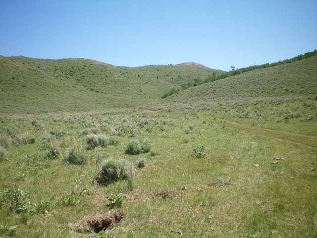
Peak 7081 (just right of center) and its long west ridge (left skyline) as viewed from the road junction (start of hike). Livingston Douglas Photo
South Side/West Ridge, Class 2
The Climb
From the road junction, hike about 0.5 miles east up the 2-track road. Leave the road and bushwhack north then northeast up a steep sage/scrub shoulder to reach the sagebrush-covered west ridge. Scramble east on the ridge crest using an on-and-off game trail to get through the unending, thick brush. Drop slightly to a thick, brush-covered saddle and continue east-northeast up the ridge on easier scrub to reach the cairned summit. In retrospect, it is probably easier to hike farther up the 2-track road to reach a shoulder just east of a prominent gully then climb north to join the west ridge high up in short, easy scrub.
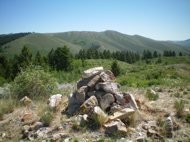
The large summit cairn atop Peak 7081 with higher peaks near Blackfoot Reservoir in the distance. Livingston Douglas Photo
Additional Resources
Regions: Blackfoot Mountains->SOUTHERN IDAHO
Mountain Range: Blackfoot Mountains
Longitude: -111.5884 Latitude: 42.9527