Elevation: 7,116 ft
Prominence: 416
This peak is not in the book. Livingston Douglas added two additional photos. Updated January 2023
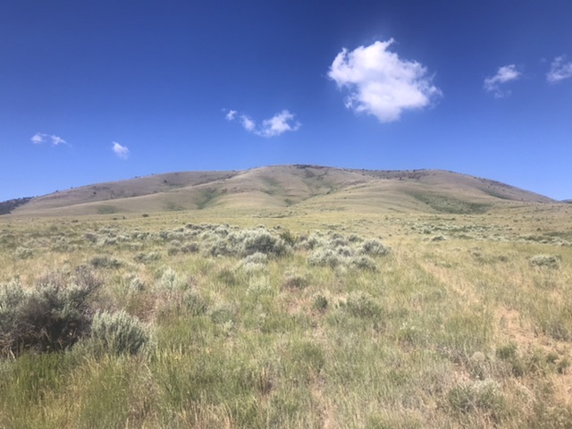
Peak 7116 sits east of the main Jim Sage Mountains crest and southeast of Elba Peak, the range high point. This peak has a broad east face, a long summit ridge, and expansive views. USGS Kane Canyon
The east face of Peak 7116
Access
From Malta, Idaho, drive south on Highway 81 for 6.0 miles. Turn west onto [signed] 2160 S. Kane Springs Road. The road is a good, county-maintained gravel road until it turns northwest toward a ranch. Turn left on the 2-track road that leaves the main road at this turn. Follow this road south, crossing Kane Creek and continue south past the saddle on the west end of Sheep Mountain. The road crosses another drainage and quickly reaches a junction with a 2-track road that runs west to the base of Peak 7116. Follow this 2-track road until it ends at an old fence enclosure. Park here. A high-clearance vehicle is recommended. See the map below.
East Face, Class 2
The peak’s east face is composed of several grass- and sagebrush-covered ribs and gullies. From the end of the road, a faint and illegal ATV trail continues toward the summit for a short distance. Follow this track to its end and then continue to ascend on whatever line looks best to you. The summit is 1.0 mile and 1,100 feet of elevation gain above the parking area.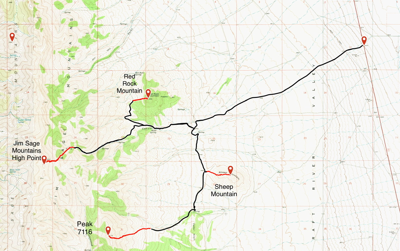
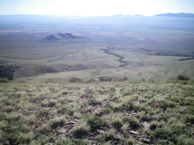
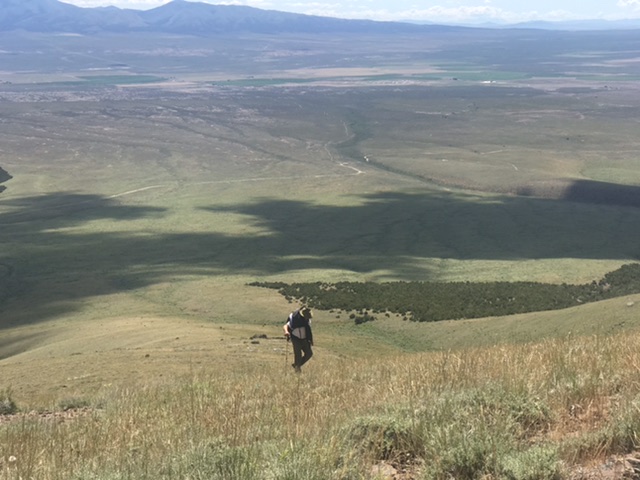
Looking down the northeast face of Peak 7116. The juniper-lined gully is dead-center. Sheep Mountain (5,764 feet) is left of center in the distance. Livingston Douglas Photo
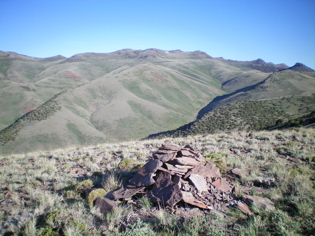
The summit cairn atop Peak 7116 with Elba Peak (and its four summit humps) in the far distance (center of photo). Livingston Douglas Photo
Looking southeast from near the summit
Additional Resources
Regions: Albion Range->Jim Sage Mountains->SOUTHERN IDAHO
Mountain Range: Albion Range
Year Climbed: 2020
Longitude: -113.46801 Latitude: 42.15949