Elevation: 7,119 ft
Prominence: 299

This peak is not in the book. Published November 2020
Peak 7119 is a ridge point that sits just off (and northeast of) the LONG northwest ridge of Peak 7340. It is only one measly foot shy of being a ranked summit! Peak 7119 can be climbed in conjunction with Peak 7340 or it can be climbed separately for a more leisurely pursuit as I did. Unlike the open terrain of the northwest ridge of Peak 7340, the west spur/northwest ridge of Peak 7119 is heavily forested and has very little open area. It is a classic Caribou Range bushwhack. USGS Commissary Ridge

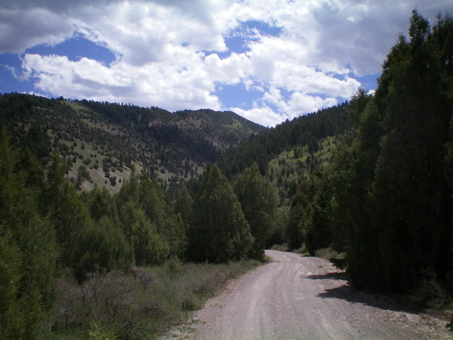
Peak 7119 (background center) and its northwest ridge (left skyline) as viewed from Blacktail Canyon Road far below. Livingston Douglas Photo
Access
Park at the base of Blacktail Canyon Road/FSR-066 (5,710 feet) at its junction with Fall Creek Road exactly 5.8 miles northeast of its junction with Kepps Crossing Road and 8.0 miles up Fall Creek Road from the Snake River Road. Please note that this junction is signed for “Blacktail Canyon” but has no road number or road sign.
West Spur/Northwest Ridge, Class 2
The Climb
From the parking area near the base of Blacktail Canyon Road, walk a short distance northeast down Fall Creek Road to reach a gully with an old jeep road on the right/southeast side of the road. Hike briefly up this side road to approach the toe of the west spur. Hike a short distance left/north on an old 2-track road that crosses the crest of the west spur. Leave the old 2-track and climb steeply east up the spur on semi-open terrain of gravel, scrub, and scattered junipers.
As you gain altitude, the forest thickens and now includes pines. The terrain is still semi-open, especially on the right/south side of the ridge crest. By about 6,580 feet, the slope eases and the spur joins the northwest ridge in a flat area of short field grass. Head right-ish (southeast) and follow the northwest ridge, skirting ridge fins and junipers as necessary. You will encounter mountain mahogany higher up. Drop 25 vertical feet off a gentle ridge hump and continue southeast to the narrow, ridge crest summit of Peak 7119.
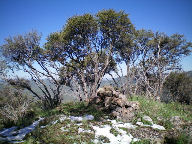
The semi-open summit only offers partial views. It has a modest cairn of large rocks and boulders, which I built up. The descent back down the lower part of the west spur to the old 2-track road is treacherously steep and loose, so be careful. It’s much more problematic than on the ascent.

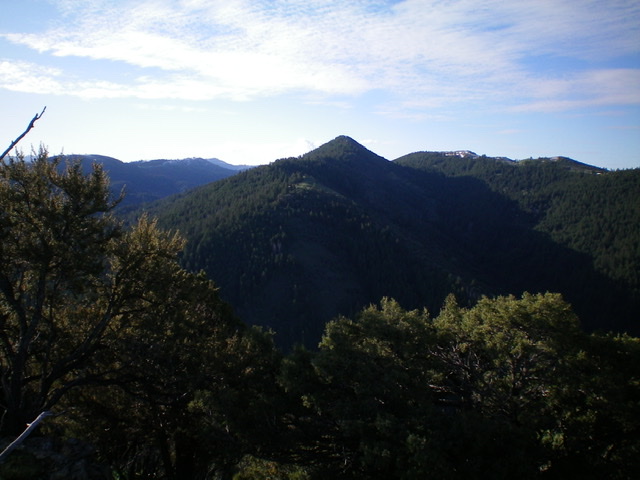
Peak 7119 (pyramidal and forested) and its northwest ridge and west spur (coming at the camera) as viewed from Peak 6587. Livingston Douglas Photo
Additional Resources
Regions: Caribou Range->SOUTHERN IDAHO
Mountain Range: Caribou Range
Longitude: -111.46929 Latitude: 43.36679
