Elevation: 7,128 ft
Prominence: 698

This peak is not in the book. Published November 2023
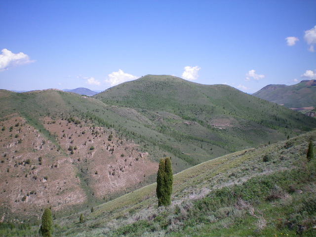
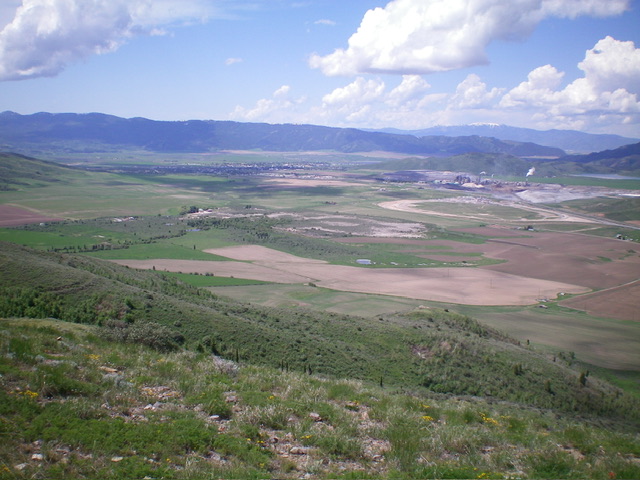
Peak 7128 is a scrub hump in an old mining area northeast of ID-34 and Soda Springs. It is on a mix of private and public land, so be careful. It is most easily climbed via its south ridge in combination with nearby Peak 7003. USGS Soda Springs
Access
Same as for Peak 7003. This is the second leg of a 2-peak adventure that includes Peak 7003 and Peak 7128. It covers 4.0 miles with 2,100 feet of elevation gain round trip.
South Ridge, Class 2
The Climb
From the 6,430-foot meadow that sits between Peak 7003 and Peak 7128, cross an old, grassy 2-track road then bushwhack north-northwest up through somewhat-thick scrub/brush to intercept an old mining road (visible when descending the northwest shoulder of Peak 7003) that heads west to near the south ridge of Peak 7128. Follow the old mining road west as it weaves its way toward the south ridge. Leave the road where it makes a sharp left/south turn to move away from the south ridge.
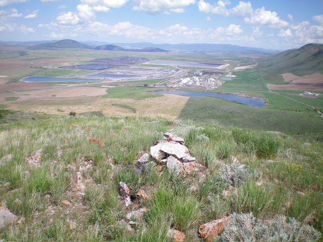
Follow a good game/use trail right/north to quickly reach the crest of the open south ridge of Peak 7128. Scramble north up the easy ridge crest on the remnants of an old game/use trail (narrow and weak, but still useful) all the way to the summit hump. There are two summit humps. The left/west one is the high point and has a large piece of rebar protruding from the ground. I rebuilt the torn-down cairn on the high point, which is about 15 feet or so from the rebar protrusion.
Additional Resources
Regions: Aspen Range->Peale Mountains->SOUTHERN IDAHO
Mountain Range: Peale Mountains
Longitude: -111.5374 Latitude: 42.7124


