Elevation: 7,180 ft
Prominence: 560
This peak is not in the book. Published January 2023
Peak 7180 is the high point on a magnificent ridgeline that follows the south side of the East Fork of Fish Creek. While the summit is on BLM land, this area is a patchwork of private and public land. Please obtain permission from the landowner(s) before attempting this climb. USGS Blizzard Mountain South
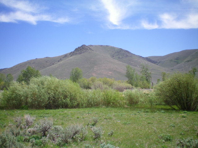
Peak 7180 (dead center) as viewed from the East Fork Fish Creek Road to its west-northwest. Livingston Douglas Photo
Access
Fish Creek Road is located along US-20 several miles east of Carey, Idaho and 25.1 miles east of the junction of US-20 and ID-75. Turn left/north onto [signed] Fish Creek Road. Drive 6.6 miles up Fish Creek Road to an unsigned junction with East Fork Fish Creek Road. Turn right/east onto that road and drive 0.3 miles to a fence row and an unsigned 2-track road on the right. Turn right/south and drive 0.1 miles on this spur road to cross to the south side of the East Fork of Fish Creek and a parking pullout there (5,465 feet).
West Ridge, Class 3
The Climb
From parking pullout, hike up a 2-track road south then southeast then east where it follows a fence row to a posted “No Trespassing” fence corner and gate. To avoid the posted property, cross the cattle fence to the right/east then another stiff cattle fence to the south almost immediately. You are now above the fenced private property of the valley floor. Scramble southeast then east up an obvious shoulder/ridge to reach rocky Point 6485. Climb up a Class 2+ chute of steep talus to reach a notch at the left/west end of Point 6485. Point 6485 is a mess of rocky blocks and towers.
Work your way east along the left/north side of the ridge crest (Class 3) to reach the cairned top of Point 6485. You can avoid this mess by skirting the south side of Point 6485 to keep the climb at Class 2+, as I did on the descent. But that route has steep, loose talus/scree to traverse so it is no picnic. From the top of Point 6485, descend east on the ridge crest on easy Class 2 terrain (scrub, sagebrush, and underlying talus/scree). Follow the ridge as its bends right/southeast and climbs up a steep, rockier section to reach Point 6922. Descend 55 vertical feet to a minor saddle then cruise up easy scrub and broken rock to reach the summit of Peak 7180.
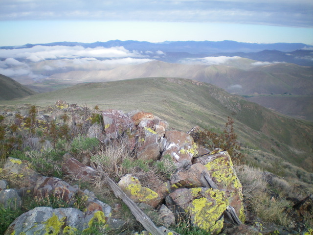
The summit cairn atop Peak 7180, looking back down the west ridge. Livingston Douglas Photo
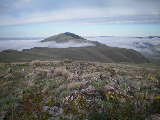
Pine Mountain (dead center) as viewed from the summit of Peak 7180 to its northeast. Livingston Douglas Photo
Additional Resources
Regions: EASTERN IDAHO->Pioneer Mountains
Mountain Range: Pioneer Mountains
Longitude: -113.75041 Latitude: 43.44079