Elevation: 7,220 ft
Prominence: 360
This peak is not in the book. Published November 2022
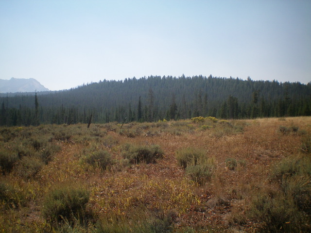
Peak 7220 is the high point on a forested ridge that separates Iron Creek from Crooked Creek. It is located just west of Stanley in the Sawtooth Range. Peak 7220 is most easily climbed from Iron Creek Road to its south. USGS Stanley Lake
Peak 7220 (forested hump/ridge in dead center) as viewed from the east near the base of Iron Creek Road. Livingston Douglas Photo
Access
From ID-21 west of Stanley, drive south on [signed] Iron Creek Road for 2.4 miles to a dispersed campsite on the south side of the road, only 0.2 miles before reaching the Iron Creek Campground. Park here (6,675 feet). GPS coordinates: 44⁰12’00”N, 115⁰00’04”W.
South Face, Class 2
The Climb
From the campsite, cross to the north side of Iron Creek Road and bushwhack up through a patch of forest with lots of downed timber. Once past the forest, scramble north up a steep sagebrush slope to reach the forested summit ridge. Follow the ridge north to a flat area and find three high points of equal height in a pretty flat, thick, blowdown-ridden forest. I built a summit cairn atop the third and final high point. Maps (and LOJ) don’t show a clear high point for Peak 7220. The high point is somewhere in the large, flat summit area above the final 7,200-foot contour line.
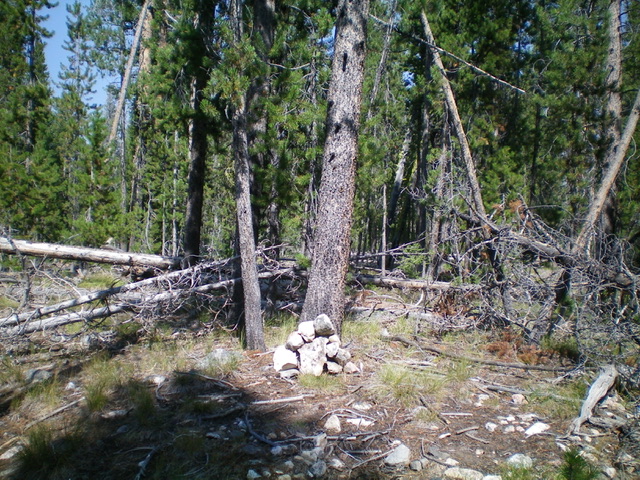
The newly-built summit cairn atop Peak 7220. Livingston Douglas Photo

The summit of Peak 7220. Lots of blowdown. Livingston Douglas Photo
Southeast Shoulder, Class 2
The Descent
From the summit area, descend south back to the top of the steep south face. Head left/east here and follow the thick forest-and-brush on the ridgeline briefly. Leave the awful ridge and descend south to Iron Creek Road, moving onto the southeast shoulder partway down. Once off the ridge, the terrain is open scrub and goes quickly. Reach the road at a crest about 1/8 mile east of the dispersed campsite. Walk down the road to the campsite and your parked vehicle.
Additional Resources
Mountain Range: Sawtooth Range
Longitude: -115.00111 Latitude: 44.20491