Elevation: 7,220 ft
Prominence: 280
This peak is not in the book. Published November 2022
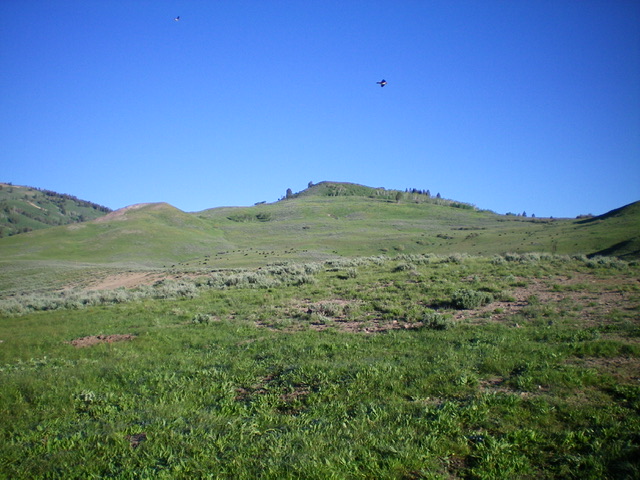
Peak 7220 sits north of Wells Summit and separates Basalt Creek from Red Rock Creek in the Soldier Mountains. It is most easily climbed from Gooding Cow Camp on its east side. USGS Dollarhide Mountain
Peak 7220 (dead center) as viewed from Gooding Cow Camp. Livingston Douglas Photo
Access
From the signed junction of FSR-095/Wells Summit Road and FSR-015/Little Smoky Road, drive 0.7 miles southwest up FSR-095 to an unsigned turnoff for Gooding Cow Camp. Turn right/northwest and drive up a narrow 2-track road for 0.1 miles to reach Gooding Cow Camp. Park here (6,450 feet).
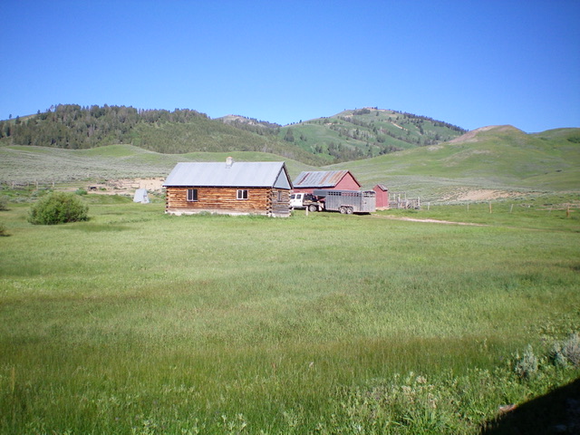
Gooding Cow Camp. Livingston Douglas Photo
East Shoulder/Southeast Ridge, Class 2+
The Climb
From Gooding Cow Camp, Peak 7220 and its southeast ridge are obvious. From the camp, jump the cattle fence and scramble west-northwest up a sagebrush shoulder, using a cattle trail to expedite the bushwhack through the sagebrush. Reach a large cairned point/hump at the top of the east shoulder, where the shoulder reaches the southeast ridge. Follow the cattle fence on the ridge up to its end at the base of the steep summit hump. Bushwhack up steep sagebrush then a final testy (Class 2+) section of boulders and aspens to reach the small summit. The summit has a large, torn-down cairn amidst the brush.
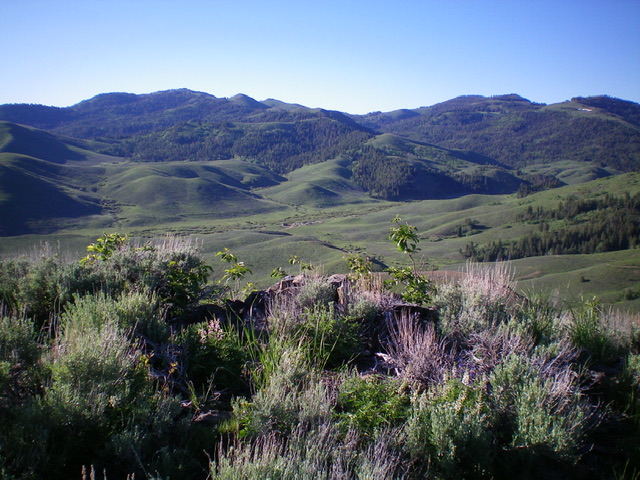
View from the summit of Peak 7220. Livingston Douglas Photo
Additional Resources
Regions: Soldier Mountains->WESTERN IDAHO
Mountain Range: Soldier Mountains
Longitude: -114.74219 Latitude: 43.52209