Elevation: 7,222 ft
Prominence: 282
This peak is not in the book. Published November 2022
Peak 7222 is a rounded hump that separates White Rag Gulch from Liberal Creek. It is located northeast of Wells Summit and southeast of Ditto Flat. It is most easily climbed from FSR-018/Liberal Creek Road. USGS Dollarhide Mountain
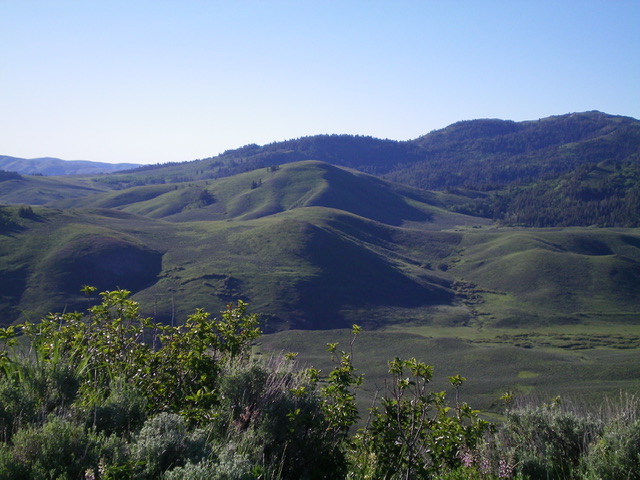
Peak 7222 (dead center in mid-ground) as viewed from Peak 7220 to its northwest. Livingston Douglas Photo
Access
From the signed junction of FSR-015/Little Smoky Road and FSR-018/Liberal Creek Road, drive southeast up FSR-018 for 0.8 miles to just past the road crossing of Liberal Creek. Park along the road at the base of an obvious shoulder to the right (6,560 feet).
Northeast Shoulder, Class 2
The Climb
Leave the road and scramble southwest up a mix of scrub and shale to reach the crest of the shoulder. Continue southwest then west to reach a better-defined ridge and a fence corner. Follow the old fence row south up to a high ridge. Leave the fence row and scramble right/west to reach the top of the summit hump. There is no summit cairn. The shoulder climb is through typical sagebrush and presents no major problems or rocky areas.
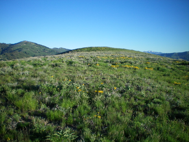
The gentle summit hump of Peak 7222. Livingston Douglas Photo
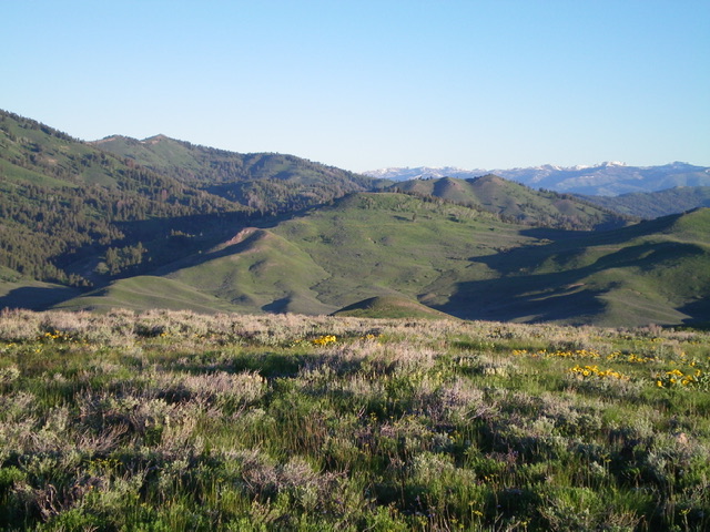
The summit view from atop Peak 7222. Peak 7220 is in dead center (mid-ground). Livingston Douglas Photo
Additional Resources
Regions: EASTERN IDAHO->Soldier Mountains->WESTERN IDAHO
Mountain Range: Soldier Mountains
Longitude: -114.70901 Latitude: 43.50549