Elevation: 7,242 ft
Prominence: 302
This peak is not in the book. Published November 2023
Peak 7242 is located on Deep Creek Ridge and is a few miles northwest of Williams Creek Summit. It separates Deep Creek from Moccasin Creek and is seldom climbed. Peak 7242 is most easily reached from FSR-021/Williams Creek Road to its south. USGS Jureano Mountain
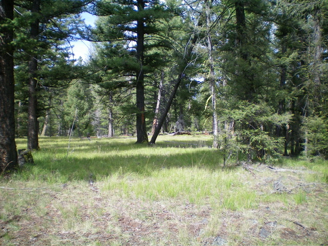
The summit area of Peak 7242. Livingston Douglas Photo
Access
Park just off FSR-021/Williams Creek Road at an unsigned junction. This junction is at 6,965 feet and 45⁰07’08”N, 114⁰09’31”W. This road junction is about 100 feet from an unsigned junction along FSR-021 (shown on the USGS topo map but not on the Salmon National Forest map) that is located 4.4 miles west of Williams Creek Summit and 9.4 miles from Panther Creek Road.
Southeast Ridge, Class 2
The Climb
From the unsigned side road junction, hike west then northwest on a 2-track road (which becomes deep mud early on) and soon reaches a gated road closure. Beyond the gated closure, the 2-track is quite overgrown with field grass. Hike ¾ miles up the old 2-track road from the parking spot. Leave the road where it levels off and is in an open area of short field grass on the summit cap. Bushwhack northwest to reach a forested high point (the east summit).
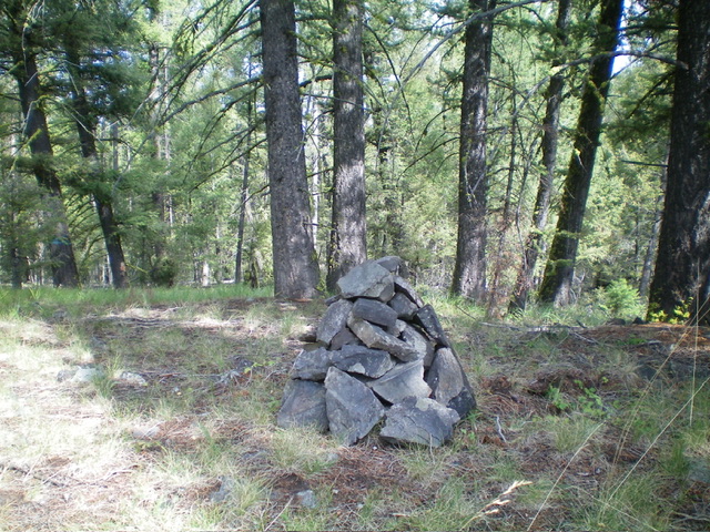
Continue west to a slightly higher summit (which is more open) which has a small summit cairn. I built up the size of this cairn substantially. The summit cap is mostly forested so it is difficult to visually compare the east summit and the west summit but the west summit measures slightly higher (by altimeter measurement). The west summit is somewhat open and there is nothing nearby that appears to be higher.
The newly-built summit cairn atop Peak 7242. Livingston Douglas Photo
Additional Resources
Mountain Range: Eastern Salmon River Mountains
Longitude: -114 Latitude: 45.1251