Elevation: 7,300 ft
Prominence: 360
This peak is not in the book. Published November 2021
Peak 7300 is an impressive hill that towers over Jeffs Flats to its north and Mill Creek to its east. It is most easily climbed from Jeffs Flats Road. USGS Pats Creek
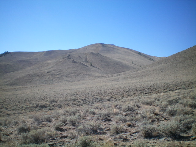
Peak 7300 and its north ridge (my descent route) heading diagonally up and right to the summit (dead center). Livingston Douglas Photo
Access
From US-93 at the north end of Challis, turn left/west onto [signed] Clinic Avenue. Follow Clinic Avenue as it goes west briefly, then jogs north briefly, then heads west to a “T” junction with [unsigned] Challis Creek Road. This junction is 0.4 miles from US-93. Turn right/north onto Challis Creek Road and drive 5.2 miles to a poorly-signed junction with Mill Creek Road/FSR-079. Turn left/south onto well-graded Mill Creek Road and drive 1.2 miles to a signed junction with Jeffs Flats Road/FSR-079.
Yes, Mill Creek Road becomes Jeffs Flats Road here. The road that continues up Mill Creek is a private road to a ranch and is gated/posted. Reset your odometer at the road junction. Turn right/west onto Jeffs Flats Road/FSR-079. At 1.9 miles, reach an unsigned junction. Go straight to stay on FSR-079. At 2.6 miles, reach a signed junction with FSR-253. Park in a pullout at this junction (6,368 feet). GPS coordinates: 44⁰32’29”N, 114⁰20’19”W.
West Ridge, Class 2
The Climb
The road junction, hike southwest up FSR-079 to its unsigned junction with FSR-252 at a cattle guard/fence that heads left/east up the ridge crest. Hike east up FSR-252 as it switchbacks its way up the west ridge and skirts the right/south side of Peak 7300. Leave the 2-track road and scramble left/north up easy scrub to reach the gentle summit. The summit has a modest cairn.
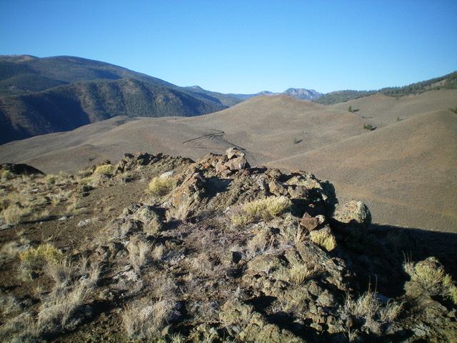
The summit cairn atop Peak 7300. Livingston Douglas Photo
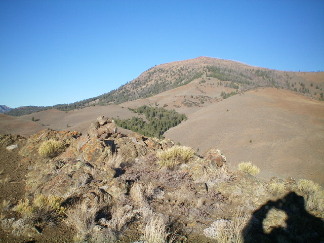
View of Corkscrew Mountain from the summit of Peak 7300. Livingston Douglas Photo
North Ridge, Class 2
The Descent
From the summit, descend north on the obvious ridge. The ridge is a combination of scrub/grass, embedded boulders/talus, and some scree/gravel. At the bottom of the ridge (on the valley floor), bear left-ish and cross two dry gullies to return to your parked vehicle. The sagebrush is thicker on the valley floor.
Additional Resources
Regions: Eastern Salmon River Mountains->Salmon River Mountains->Southeast Corner Peaks->WESTERN IDAHO
Mountain Range: Eastern Salmon River Mountains
Longitude: -114.34329 Latitude: 44.53029