Elevation: 7,340 ft
Prominence: 400
This peak is not in the book. Published October 2020
Peak 7340 is the high point on a ridge line that parallels Mahogany Ridge. Rash Canyon separates these two ridges that sit south of Fall Creek Canyon. Like many of the Caribou Ranges, the northwest ridge of Peak 7340 has its ups and downs, but they are not as pronounced as the ones on Mahogany Ridge to its east. Both peaks can be climbed directly from Fall Creek Canyon to the north. The ridge is consistently open and provides outstanding views. It also offers a good way to combine a climb of Mahogany Ridge on the same adventure. USGS Commissary Ridge
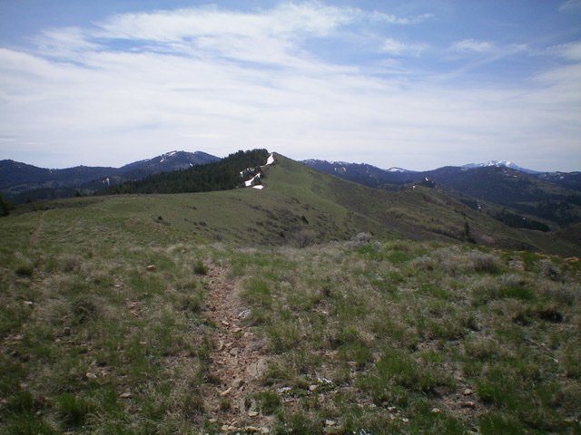
Looking up the final stretch of the northwest ridge at the summit of Peak 7340. Livingston Douglas Photo
Access
Park at a spur road on the south side of Fall Creek Road exactly 5.2 miles northeast of its junction with Kepps Crossing Road. The spur road can also be reached from US-26 to the east. Leave US-26 a few miles west of the junction of US-26 and ID-31 in Swan Valley at a [signed] junction at a bridge crossing of the Snake River. Drive south on Snake River Road for 1.2 miles to its [signed] junction with Fall Creek Road. Turn right/west onto Fall Creek Road and drive 8.6 miles to the spur road which will be on your left/south. The elevation at this spur road is 5,730 feet. It sits at the base of the northwest ridge of Peak 7340.
Northwest Ridge, Class 2
The Climb
From the junction of the spur road and Fall Creek Road, scramble east across a minor dry drainage to reach the west face of the northwest ridge. Climb up onto the ridge and then follow it for a solid 3+ miles to the summit. The scramble up onto the ridge is steep scrub and rock (higher up). The ridge itself is a combination of rock, scrub, and field grass and has a few minor ridge humps to scale. The ridge has a good horse trail on it starting about 1/3 of the way up the ridge and continues almost all the way to the summit. The horse trail comes up from a drainage on the northeast side of the ridge in Rash Canyon. You must skirt a few rock fins on the ridge crest on the way to the narrow, ridge-crest summit of Peak 7340. There was no cairn on the summit so I built one.
East Face, Class 2
The Descent
From the summit perch, descend southeast briefly on the summit ridge then drop northeast through sagebrush to cross a dry gully and reach an open shoulder that leads down to a good, visible ATV trail (FST-306). Follow FST-306 northeast to reach a saddle at the head of Rash Canyon.
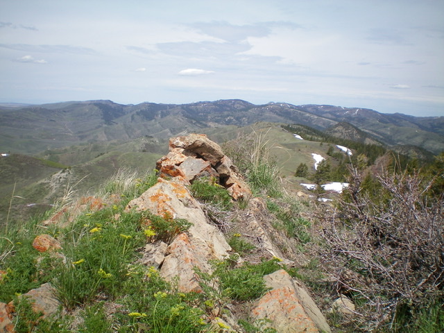
The newly-built summit cairn atop Peak 7340. Livingston Douglas Photo
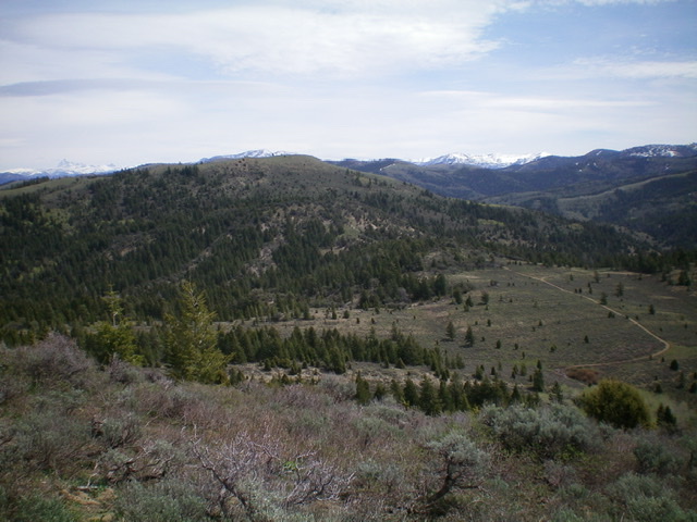
View of nearby Mahogany Ridge (mid-ground) to the east from the summit of Peak 7340. The snow-capped Tetons are in the far distance. Livingston Douglas Photo
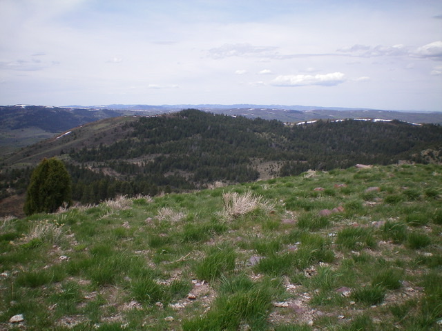
View of Peak 7340 from the summit of Mahogany Ridge to the east. The summit is the forested hump just left of center. Livingston Douglas Photo
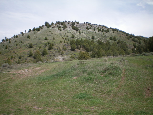
The toe of the northwest ridge of Peak 7340 as viewed from the parking area on the spur road near its junction with Fall Creek Road. Cross a dry gully and deal with some steep rock near the top to reach the crest of the northwest ridge. Livingston Douglas Photo
Additional Resources
Regions: Caribou Range->SOUTHERN IDAHO
Mountain Range: Caribou Range
Longitude: -111.45019 Latitude: 43.34519