Elevation: 7,413 ft
Prominence: 473

This peak is not in the book. Published December 2019
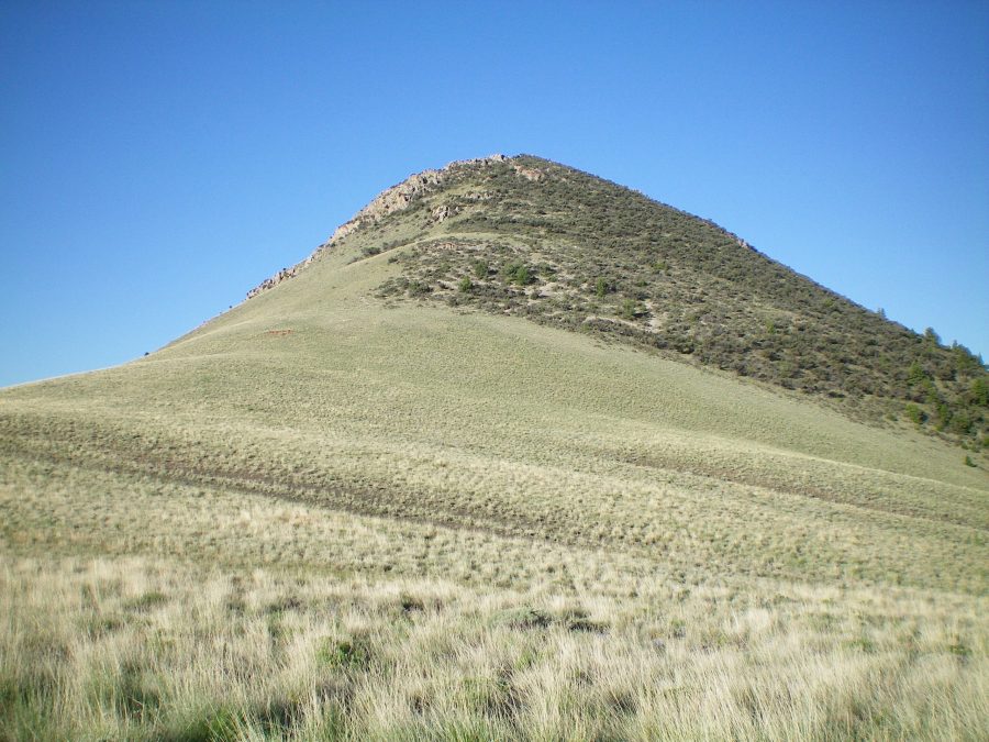
Peak 7413 is minor hump of rock, scrub, and forest located near the mouths of both Spring Canyon and Bloom Canyon on the west side of the Beaverhead Mountains. It is really just a bump on the long south ridge of Bloom Benchmark (9,723 feet). The easiest ascent route is via its north ridge and nearby Spring Canyon Road. USGS Scott Butte
North Spur/West Ridge, Class 3
Access
Spring Canyon Road is located on ID-28 in the Birch Creek Valley between Mile Marker 40 and Mile Marker 41, exactly 9.9 miles north of the junction of ID-22/ID-28 and 3.4 miles south of the north entrance to Birch Creek Campground. It is signed with a simple street sign. Spring Canyon Road is poorly maintained and is now a primitive 2-track road. At 1.6 miles, the road goes left at a fork and becomes faint and rutted. At 2.7 miles, the road reaches the mouth of Spring Canyon. Park in the open grass here (6,350 feet).
The Climb
From the mouth of Spring Canyon, scramble east up easy desert scrub onto the rocky north spur. Follow the spur south to reach its junction with the west ridge of Peak 7413. The terrain on the spur is a mix of thick sage/scrub/prickly bushes and ridge rock/outcrops. It is a tedious endeavor. From the junction, climb up the scrub-covered west ridge to the summit. The ridge rock and ridge blocks, combined with the thick brush/scrub, make this climb a Class 3 effort.
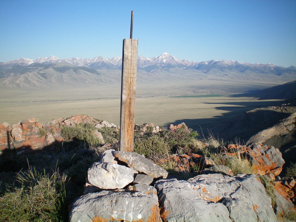
There is a lot of prickly desert bushes on this ridge, so lots of weaving around is required to make progress up the ridge. The summit of Peak 7413 is small. There is a cairn on top with a post in it. You will pass the remains of an old mine just prior to reaching the summit. The north side of the peak is thickly forested and has hidden cliff bands.

The summit cairn atop Peak 7413 with Diamond Peak in the background, just right of the summit post. Livingston Douglas Photo
Northeast Ridge, Class 2
Access
Same as for the north spur/west ridge
The Descent
From the small summit, descend easy Class 2 desert scrub (some weaving required) to reach the scrub-covered saddle at the base of the northeast ridge. From here, you can easily descend open slopes to the west to return to Spring Canyon Road or do a diagonal descent northward to intersect the road higher up the canyon if you wish to climb Peak 9085 up at the head of Spring Canyon.
Additional Resources
Regions: Beaverhead Range->EASTERN IDAHO
Mountain Range: Beaverhead Range
Longitude: -112.80379 Latitude: 44.11139
