Elevation: 7,466 ft
Prominence: 286
This peak is not in the book. Published December 2020
Peak 7466 is a thickly-forested hump that is located on the south side of FSR-017 about a mile east of FSR-075/Skyline Road. It is most easily climbed via its forested north ridge. Please be aware that hunters frequent this area in the Fall and hunting camps are likely to be seen along FSR-017 at the base of the north ridge. Be careful. USGS Commissary Ridge
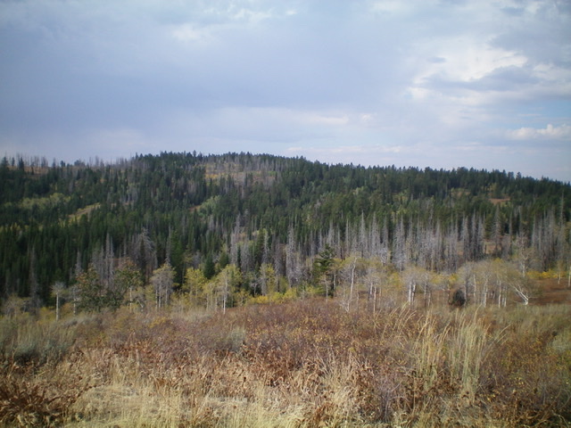
Peak 7466 as viewed from Lone Pine Ridge to its northeast. The summit is left of center. Livingston Douglas Photo
Access
From US-26 north of Swan Valley, ID, turn right/south at a signed junction just before a bridge crossing of the Snake River a few miles west of the junction of US-26 and ID-31 in Swan Valley. This junction is signed for Snake River Road and “Fall Creek Road 1 mile.” Drive 1.2 miles south on Snake River Road as it follows the west side of the Snake River and reaches a signed junction with Fall Creek Road/FSR-077. Turn right/west on Fall Creek Road and drive 13.8 miles west to a signed “T” junction with FSR-075/Skyline Road. Turn left/south and drive 10.8 miles southeast on Skyline Road to a signed junction with FSR-017 (left/east turn). Park at this junction (7,280 feet) or drive up the rugged jeep road as far as you wish. The road is best suited for ATVs and MCs.
North Ridge, Class 2
The Climb
Hike about a mile east up FST-017 to a sharp left/north turn in the road that leads up to a flat saddle area. This is the crossing of the north ridge of Peak 7466 and is at 7,200 feet. Leave the road here and bushwhack south, skirting the right/west side of the thick pine forest. Find a spur road leading left/east up to a dispersed campsite. Hike up to this campsite (which is on the ridge crest) and then bushwhack south up through the thick forest following the ridge crest or close to it.
There is an open, brushy gully on the right/west side of the forested ridge to act as a guide. Follow a hunter’s trail up the densely-forested ridge until it flames out. The ridge has decent definition up to the summit area to be able to follow it without help from a use trail. Continue south up the ridge to the flat, semi-open summit area. Go right/west from here to locate the high point. There is no clear high point but it is soon after you pass the head of the gully that you’ve been tracking when coming up the ridge. Wander around the mix of forest and meadows to satisfy yourself that you have stood atop the high point. There is no summit cairn or other marker on the summit.
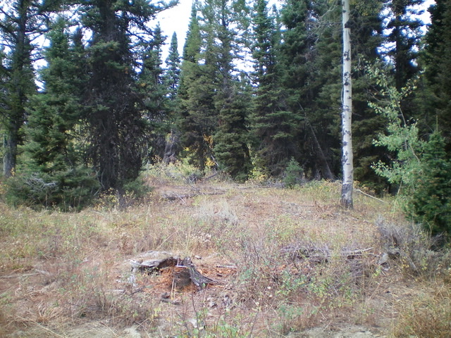
The summit area of Peak 7466. Livingston Douglas Photo
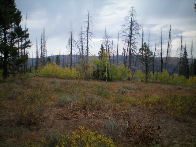
Another view of the summit area of Peak 7466. Livingston Douglas Photo
Additional Resources
Regions: Caribou Range->SOUTHERN IDAHO
Mountain Range: Caribou Range
Longitude: -111.43169 Latitude: 43.25619