Elevation: 7,460 ft
Prominence: 560
This peak is not in the book. Published April 2018
Slaughterhouse Peak is located in the southwest corner of the Salmon River Mountains. It rises steeply out of the deep South Fork Payette River Canyon. The Deadwood River borders the peak to the east and Big Pine Creek drains the peak’s West Slopes. Slaughterhouse Creek empties the peak’s East Face. John Platt and Michael Pelton climbed the peak in April 2018 via the peak’s Southwest Ridge. Use the link below to read John’s trip report. USGS Pine Flat
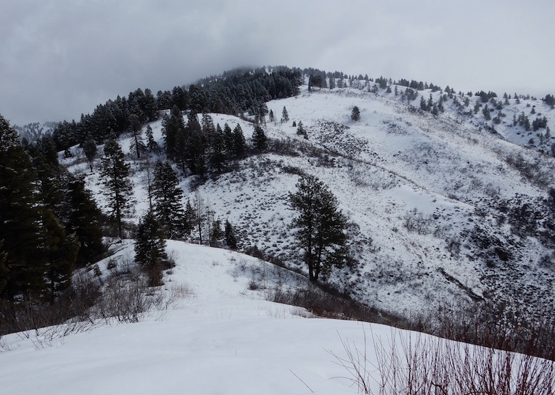
Slaughterhouse Peak. John Platt Photo
Access
Access this peak via Payette River Highway (i.e., the Banks/Lowman Highway) [(D)(1) on Page 140]. Follow the ihghway east toward Lowman until you reach the turn for Big Pine Creek. This turn is signed for Scott Mountain. The coordinates for this starting point are found on the map below. There is good parking on the East Side of the creek.
Southwest Ridge, Class 2
The peak’s Southwest Ridge climbs steeply to the summit in just under 4.0 miles. There are no significant obstacles. John measured the round trip at 7.7 miles with 4,270 feet of elevation gain.
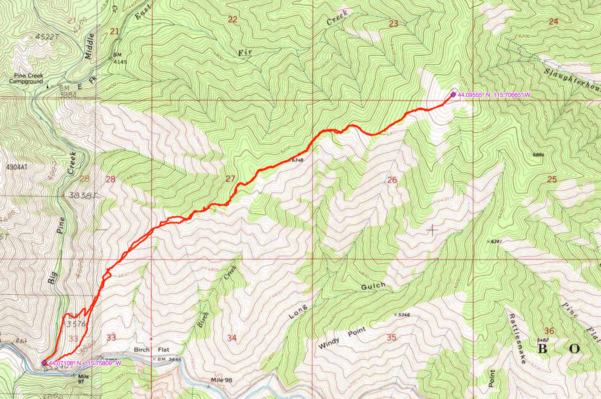
John Platt’s GPS track.
Additional Resources
Regions: Log Mountain - Deadwood Divide Peaks->Salmon River Mountains->WESTERN IDAHO->Western Salmon River Mountains
Mountain Range: Western Salmon River Mountains
Longitude: -115.70649 Latitude: 44.09549