Elevation: 7,487 ft
Prominence: 637
This peak is not in the book. Published January 2023
While almost entirely on public land, Peak 7487 is currently [2022] inaccessible to the public due to an active phosphate mining operation. The mining operation covers all of the upper aspects of the mountain, from all directions. Peak 7487 is a ranked summit that is located at the southeast end of the lengthy Rasmussen Ridge section of the Grays Range in the Peale Mountains. USGS Upper Valley
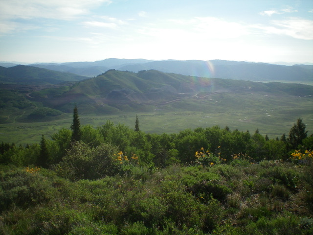
Peak 7487 (in mid-ground) as viewed from Peak 7730 to its southwest. Livingston Douglas Photo
Access Update
From ID-34 at the south end of Blackfoot Reservoir (11.8 miles north of US-30 in Soda Springs), turn right/east onto [signed] Blackfoot River Road and reset your odometer. At 11.3 miles, reach the Caribou National Forest boundary. At 14.6 miles, reach a signed junction with Rasmussen Valley Road just before a sharp right/east turn in Blackfoot River Road. From here, you have two options to access the mountain.
East/North Side Access
Continue north (then east) on Blackfoot River Road which becomes Lanes Creek Road and heads north into the Upper Valley on the east side of the mountain. Lanes Creek Road would provide access to the southeast ridge of Peak 7487 but that public land is currently completely reshaped and is being actively mined for phosphate. The area is off limits to the public. The Sheep Creek drainage north of Peak 7487 is blocked by a private ranch road to its east (aggressively posted and gated).
South/West Side Access
Turn left/west onto Rasmussen Valley Road and reset your odometer. At 0.2 miles, turn right/north at a signed “T” junction to remain on Rasmussen Valley Road. At 1.2 miles, the road bends sharply left/west and Peak 7487 is to the right/northeast. This road turn provides the best access to the south and southwest aspects of the mountain. If you drive another 0.5 miles up Rasmussen Valley Road, you have good access to the west side of the mountain, particularly the west ridge. Unfortunately, all of these areas are closed to the public due to the active phosphate mining operation on the mountain.
Additional Resources
Regions: Grays Range->Peale Mountains->SOUTHERN IDAHO
Mountain Range: Peale Mountains
Longitude: -111.3513 Latitude: 42.8504