Elevation: 7,522 ft
Prominence: 422
This peak is not in the book. Published November 2020
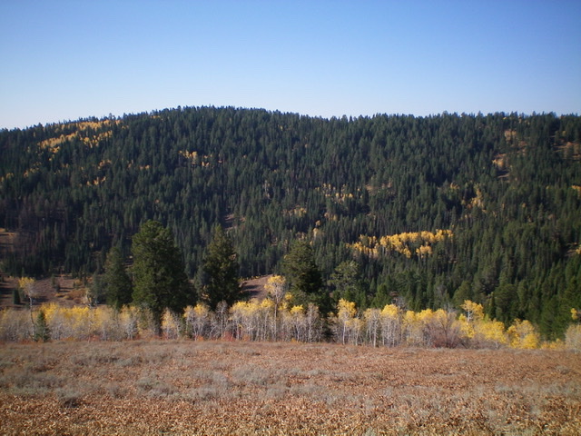
Peak 7522 is a forested hump that is located along Tincup Road/FSR-117 above Tincup Creek. There is a lot of posted private land on the south side of this peak so consult a map and be careful. This route is entirely on public land. Views from the top are somewhat limited due to the forest cover. The easiest ascent route is via an old 2-track road (then use trail) coming up the west gully and a short bushwhack through the forest to the cairned summit. USGS Caribou Mountain
Peak 7522 as viewed from the northeast. The summit is left of center. Livingston Douglas Photo
Access
From the east end of ID-34 (at a county road about a mile north of Freedom, WY), drive west on ID-34 for 12.2 miles to a [signed] junction with Tincup Road/FSR-117. Turn right/north onto Tincup Road and drive 4.2 miles to a large pullout and dispersed campsite on the right side of the road. Park here (6,740 feet).
West Ridge/West Gully, Class 2
The Climb
From the parking pullout along Tincup Road, follow an old 2-track road (not shown on maps) northeast then east up a gully. This gully heads up to a saddle on the north side of Peak 7522. The old road quickly degrades into a decent use trail. Follow the use trail high up the gully, as it moves out of the gully and up onto the north side of the west ridge. When the use trail is not far from the crest of the west ridge and it begins to move left-ish/northeast to reach the saddle, leave the trail and bushwhack south a short distance through the forest to reach the crest of the west ridge. Follow the ridge to the semi-open summit of Peak 7522. The ridge bushwhack is moderately difficult with blowdown, brush, and some aspens in the pine forest. The summit has a decent cairn and a nearby open field. The forest limits views to only one direction (southwest).
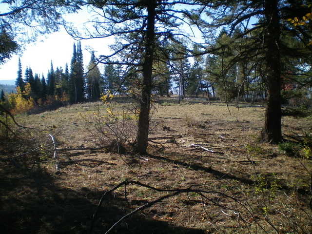
The summit area atop forested Peak 7522. Livingston Douglas Photo
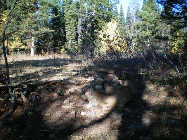
The summit cairn atop Peak 7522. Livingston Douglas Photo
North Face, Class 2
The Descent
From the summit, bushwhack north through dense pine forest with lots of blowdown and brush to reach a ridge saddle at 7,380 feet that is also forested and quite difficult to navigate. Surprisingly, the use trail (used on the ascent route) does not reach this saddle or cross it and descend to a drainage northeast of here, as I had hoped. From the saddle, bushwhack northeast down through a thick pine forest with some semi-open sections to reach the drainage that separates Peak 7522 from Peak 7932. This drainage has a long, narrow meadow with marshy areas in the area where you reach it.
You will get occasional glimpses of Peak 7932 as you make this descent. The drainage crossing is at about 6,900 feet. You will cross an ATV trail (FST-444) and climb over a minor hump just before reaching the stream in the drainage. This stream crossing is the low point in the traverse to Peak 7932 and concludes the first leg of today’s two-peak journey. Peak 7932 is next. Please be advised that the USGS topo map shows only part of FST-444. The Caribou-Targhee National Forest Map shows the ATV trail in its entirety.
Additional Resources
Regions: Caribou Range->SOUTHERN IDAHO
Mountain Range: Caribou Range
Longitude: -111.29179 Latitude: 43.00839