Elevation: 7,540 ft
Prominence: 280
This peak is not in the book. Published December 2020
Peak 7540 is located on the Continental Divide south of Chief Joseph Pass and north of Anderson Mountain (ID). It almost qualifies as a ranked summit but is a very easy scramble from the Forest Service road that leads south to Anderson Mountain. It is a five-minute hike/bushwhack from the southeast at a junction of two spur roads. USGS Lost Trail Pass
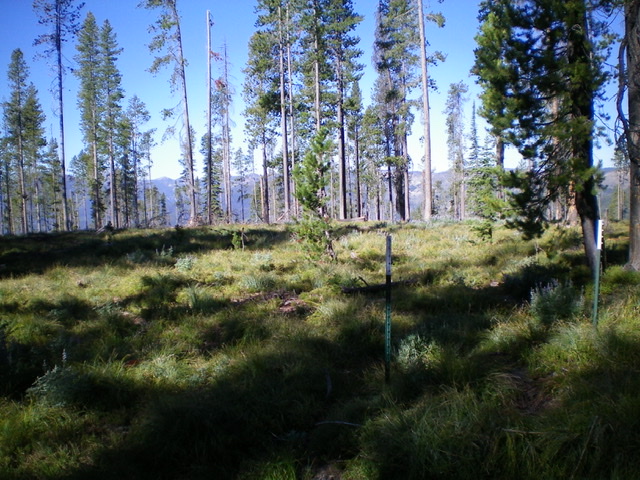
The semi-open, heavily-logged summit area of Peak 7540. Livingston Douglas Photo
Access
From Chief Joseph Pass on MT-43, drive south on [signed] FSR-081 for 1.7 miles to a spur road on the left/east side of the road. Drive about 100 yards east up this spur road to an unsigned junction. Park here (7,465 feet).
Southeast Face, Class 2
The Climb
From the unsigned junction just east of FSR-081 (in a semi-logged area), follow a weak 2-track road northwest until it ends in an open are to the left/west. Bushwhack north through an easy, open pine forest that has a thick bed of veg but not much blowdown. You will soon reach the high point of Peak 7540, which is marked by two metal stakes. The summit area is semi-open and I could find no point higher than this one. There was no summit cairn. This is a prime logging area as you well know by now.
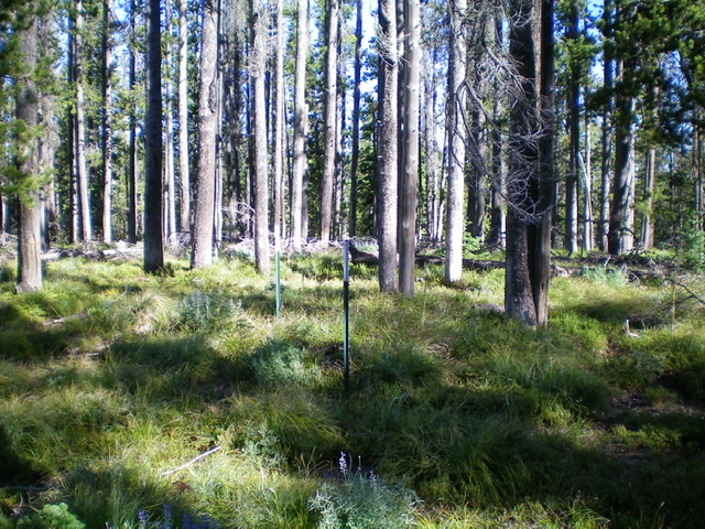
The high point of Peak 7540 is marked by these two metal posts. Livingston Douglas Photo
Additional Resources
Regions: Beaverhead Range->EASTERN IDAHO
Mountain Range: Beaverhead Range
Longitude: -113.92349 Latitude: 45.66749