Elevation: 7,544 ft
Prominence: 444
This peak is not in the book.
Peak 7544 sits northwest of Twin Lakes near the Idaho County/Ravalli County border in the Bitterroot National Forest. Wahoo Pass is located on the peak’s South Ridge and Lost Horse Pass is on its East Ridge. The peak is accessed via Lost Horse Road from US-93 south of Hamilton, Montana. This good gravel road leads 20 miles into the Bitterroot Mountains to a trailhead between the two Twin Lakes. USGS Saddle Mountain
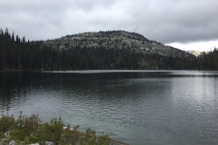
Peak 7544 rising over the upper Twin Lake.
From the trailhead, the trail leads to the dam for the upper lake, then turns east, crossing the dam. The trail leads past the East Side of the lake to Lost Horse Pass and a junction in 0.9 miles. At this point, take the left fork trail to Wahoo Pass in another 0.9 miles. The route gains just over 500 feet to this point. From the pass, hike up the South Ridge. The summit is 0.7 miles and 450 feet above the lake. When you run into a steep granite outcrop on your approach, move to the right to bypass it. The summit is a broad area with good views. Class 2.
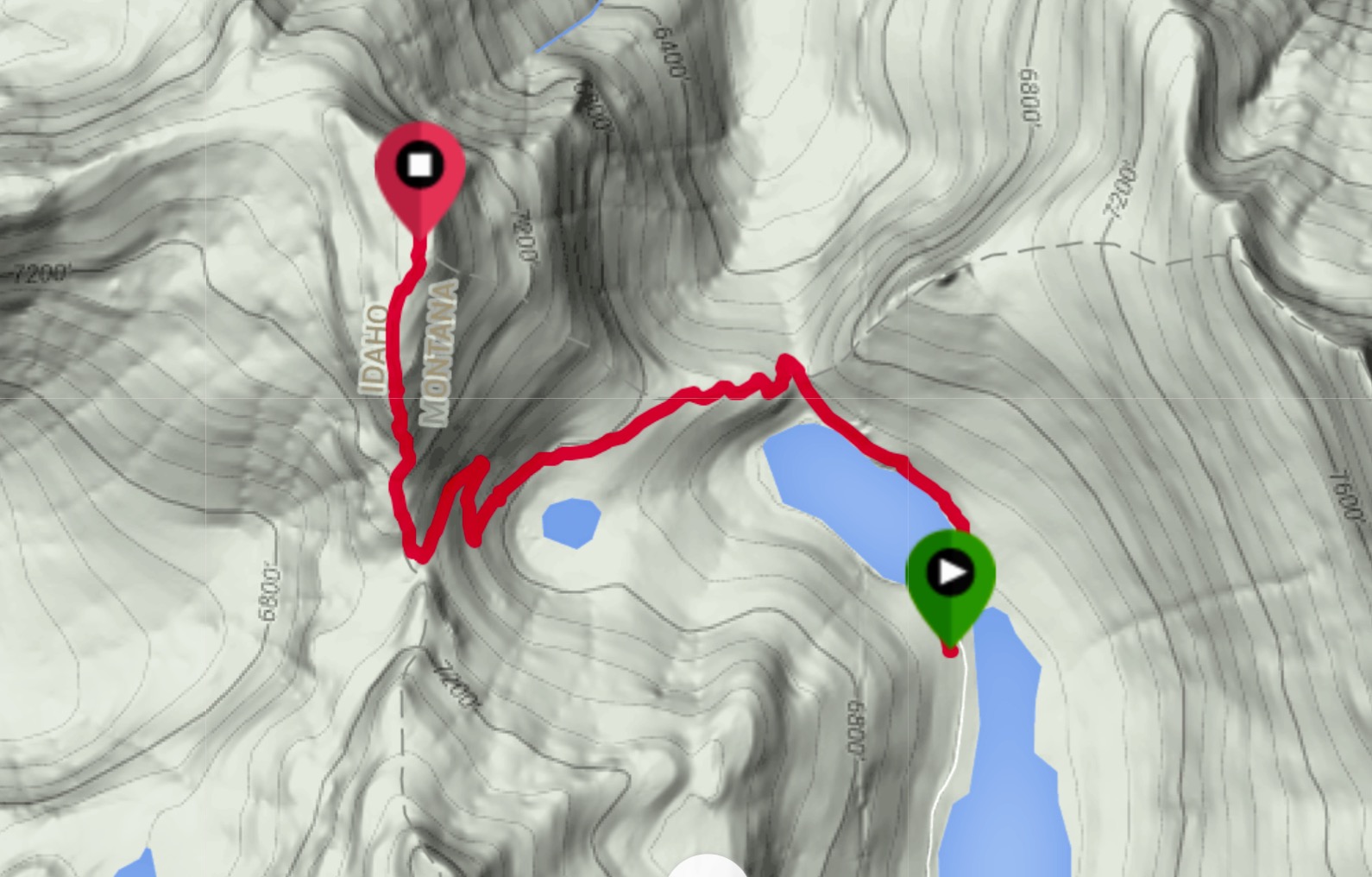
My GPS track. One-way stats: 2.5 miles with 984 feet of elevation gain.
Approaching Wahoo Pass and the Idaho/Montana border.
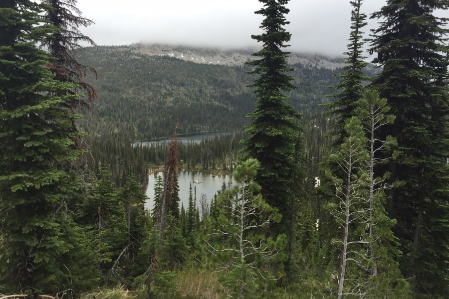
Mud Lake and upper Twin Lake as viewed from near Wahoo Pass.
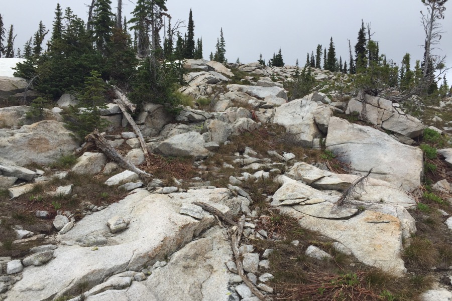
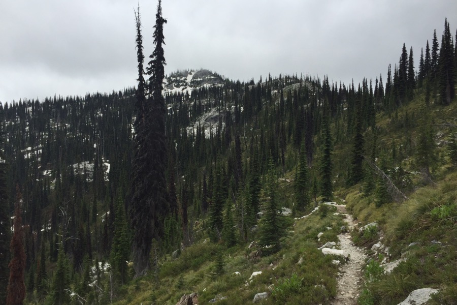
The terrain on the South Ridge.
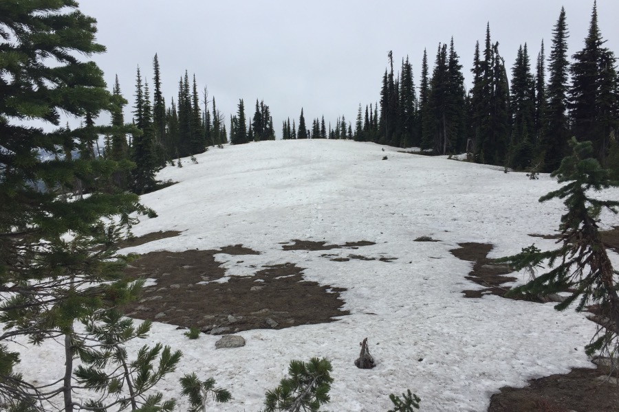
The summit area was covered with snow on June 24th.
Additional Resources
Regions: Bitterroot Mountains->NORTHERN IDAHO
Mountain Range: Bitterroot Mountains
Year Climbed: 2016
Longitude: -114.51519 Latitude: 46.16959